Kokoda Track 2002
The story
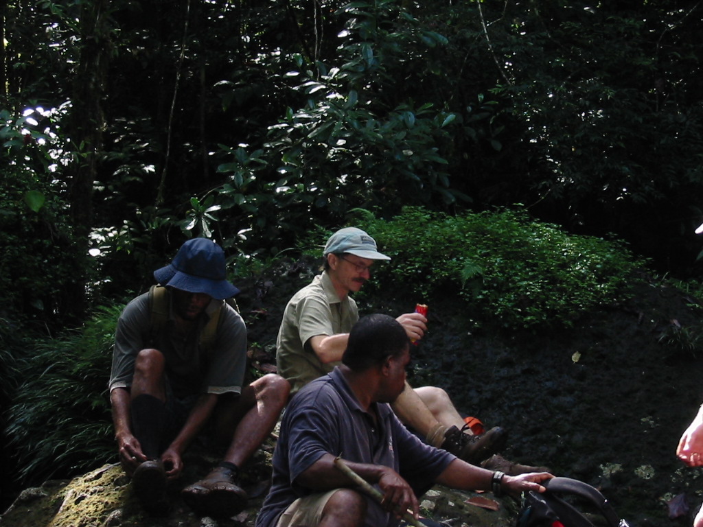
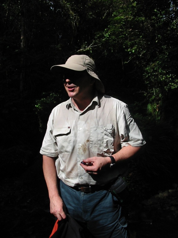
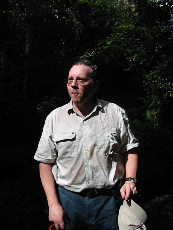
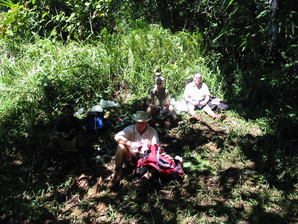
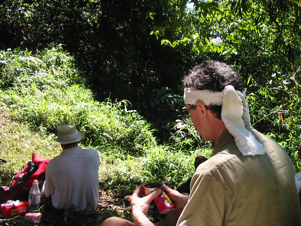
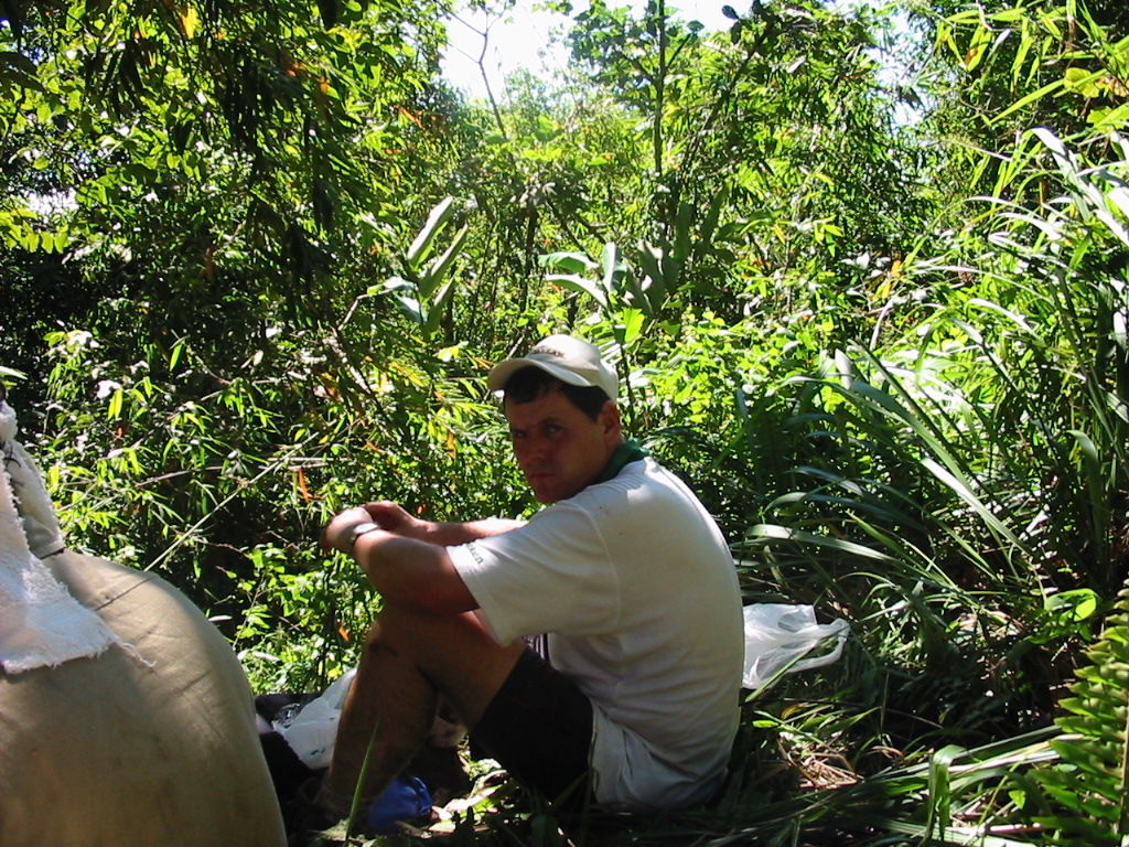
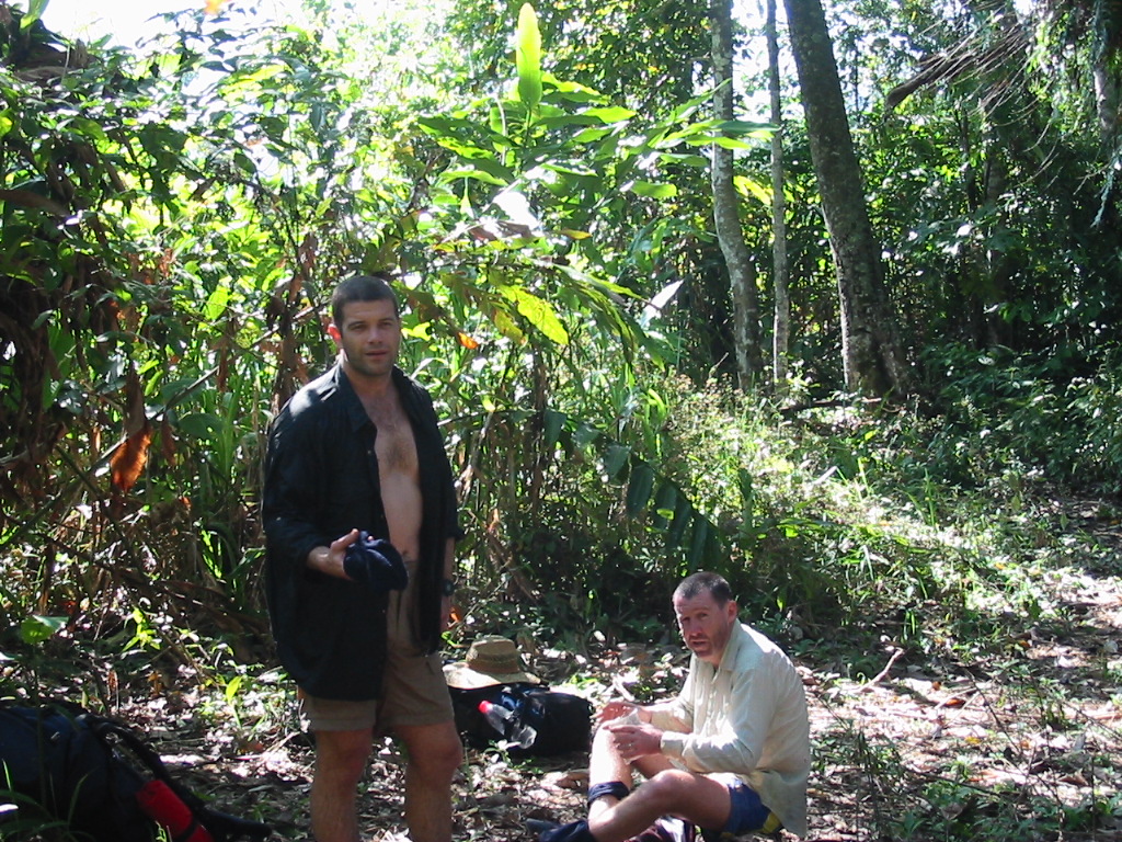
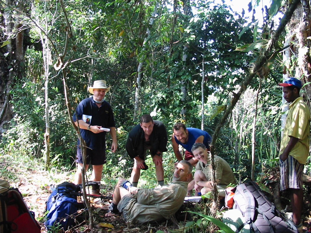
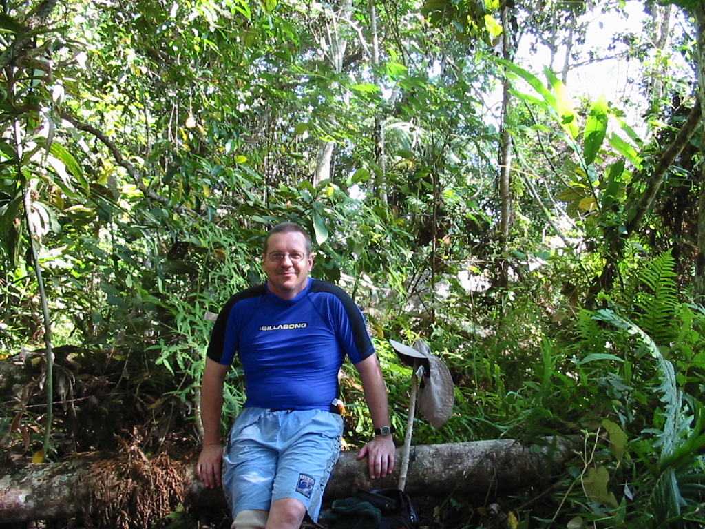
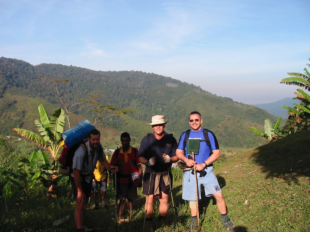
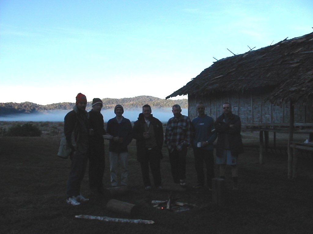
The Walkers
Brendan Coombs (the leader)
Nick Brooking (the agile)
John Kay (The strength of recovery)
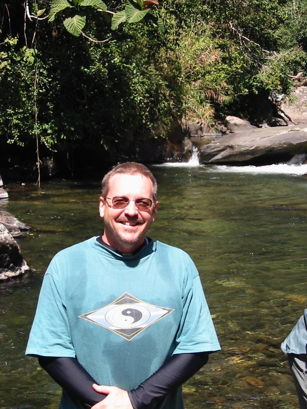
Brian Wearing (Took the time to smell the roses)
Shane Kelly (Mr Legs)
Gavin Wearing (the Gun)
John Briscoe (the scribe)
Prescript
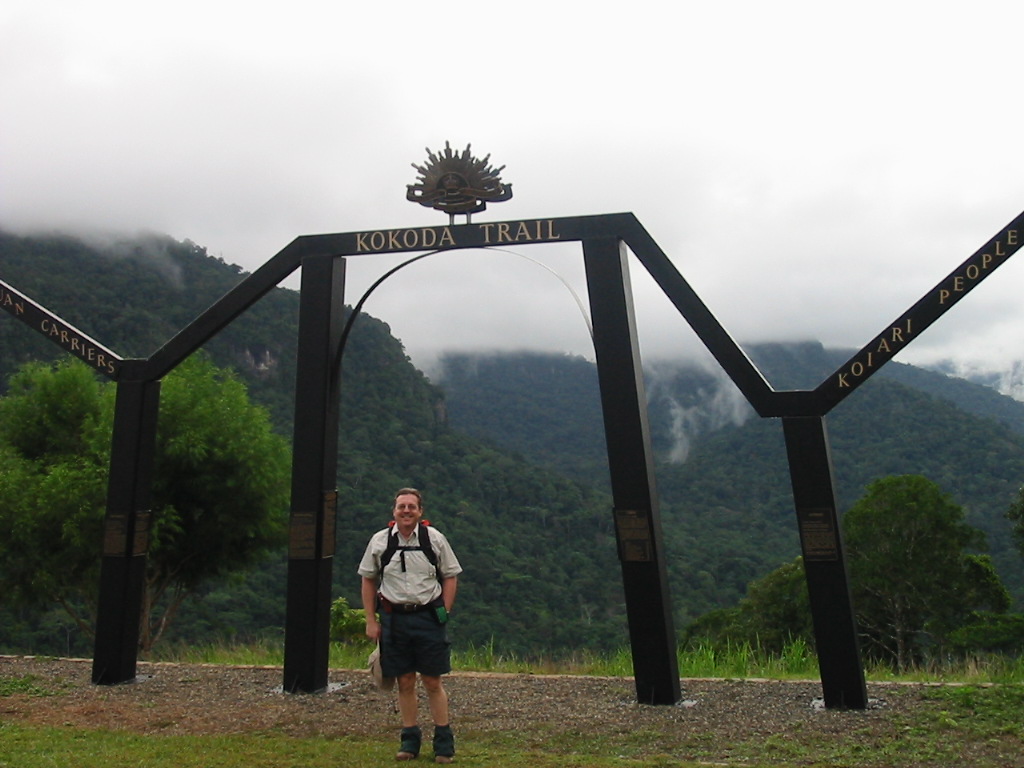
13 July 2002.
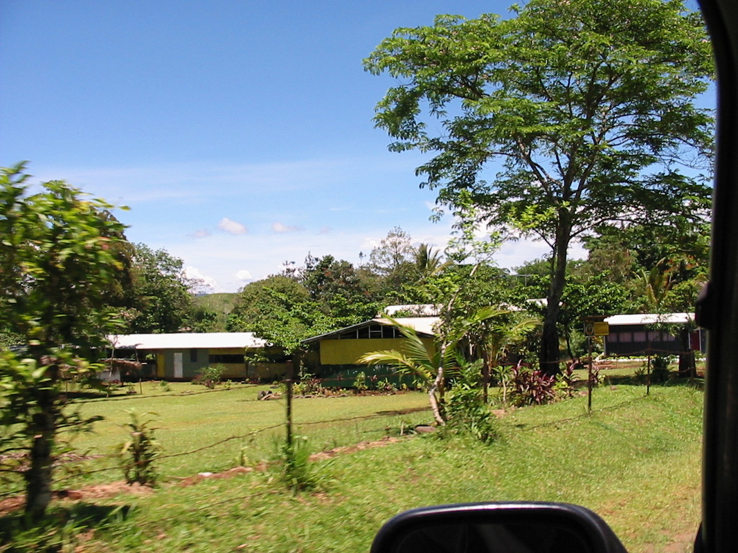
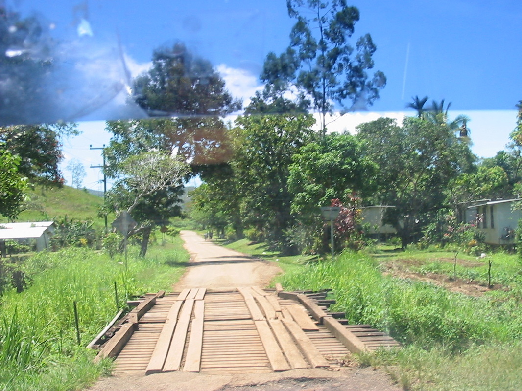
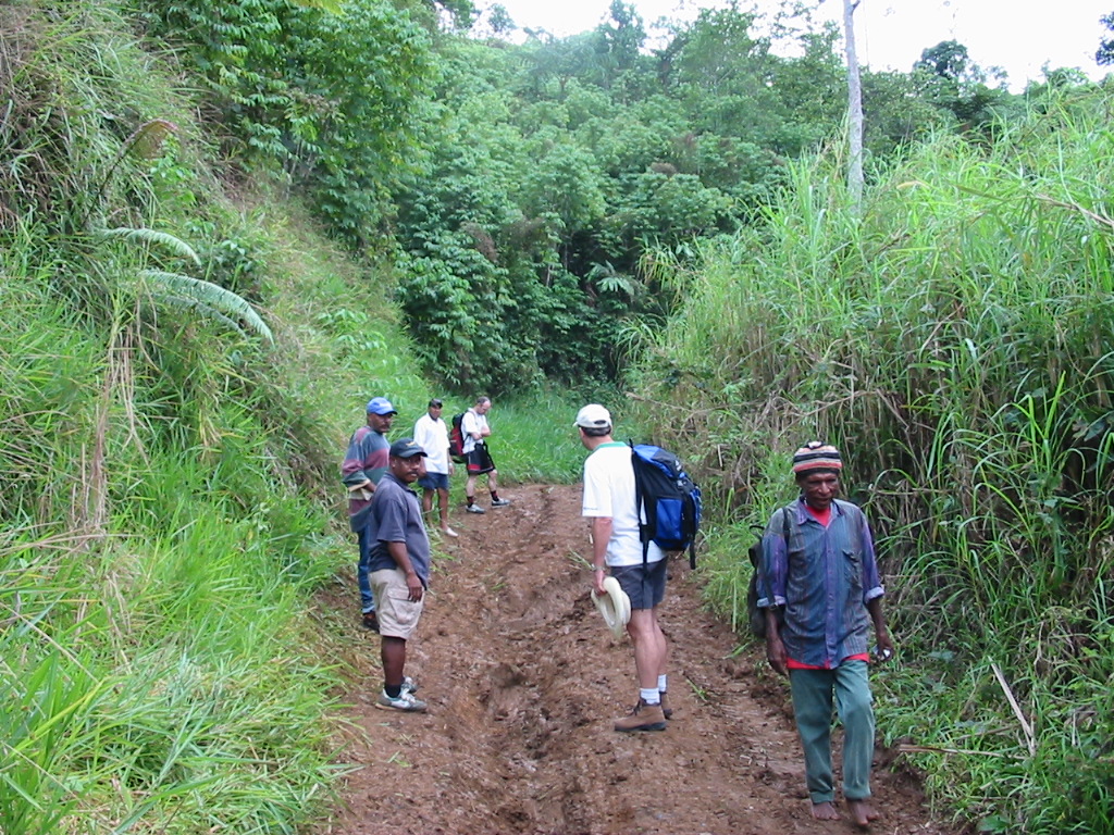
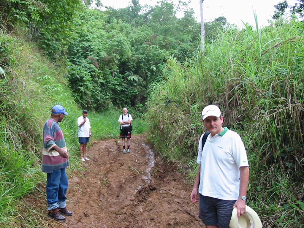
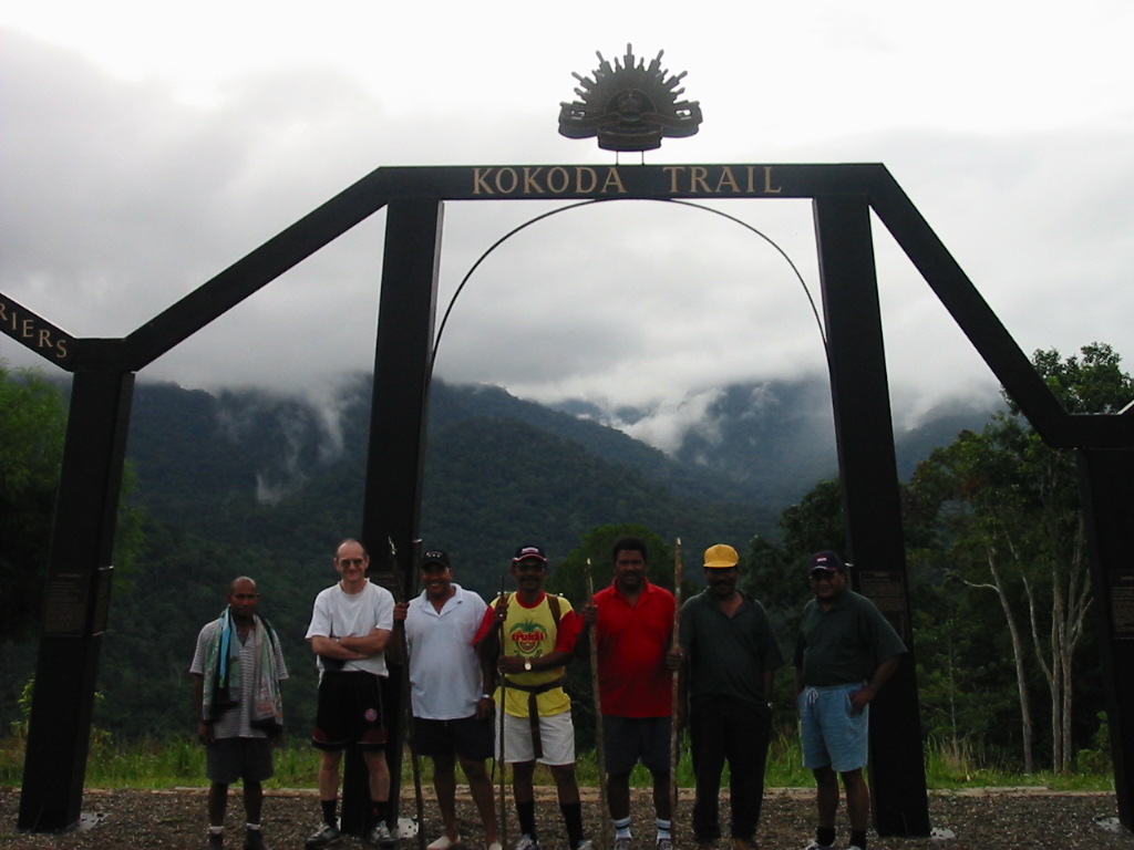
The official start of the Kokoda Track, Owens Corner, saw the resplendent group of Brendan Coombs, Nick Brooking, Keith Wilson and myself ready to embark on a spirited walk up to Imiti Ridge and back the other Saturday.
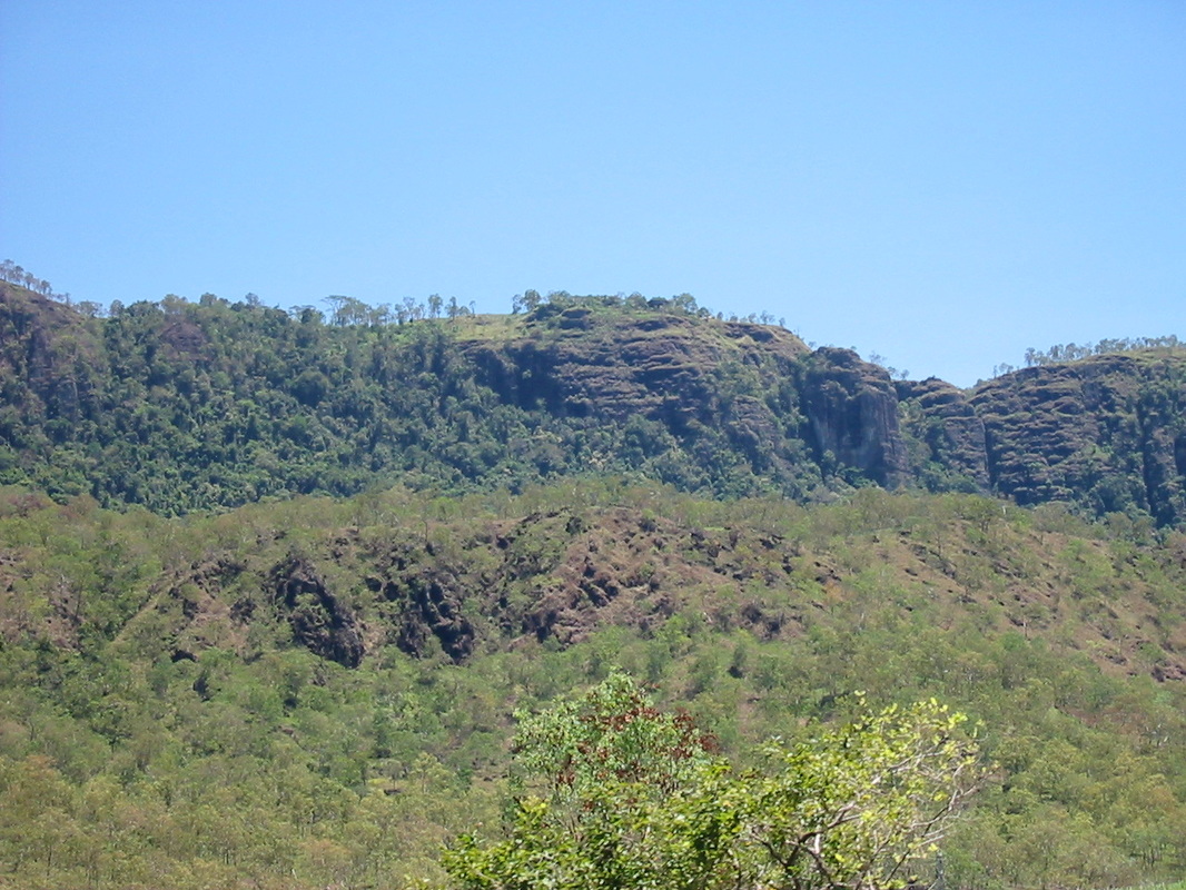
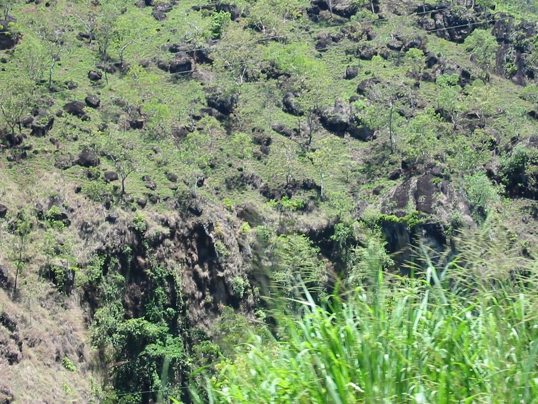
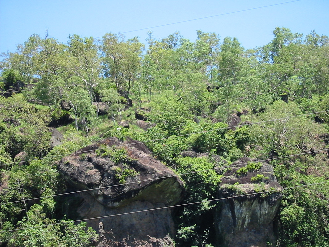
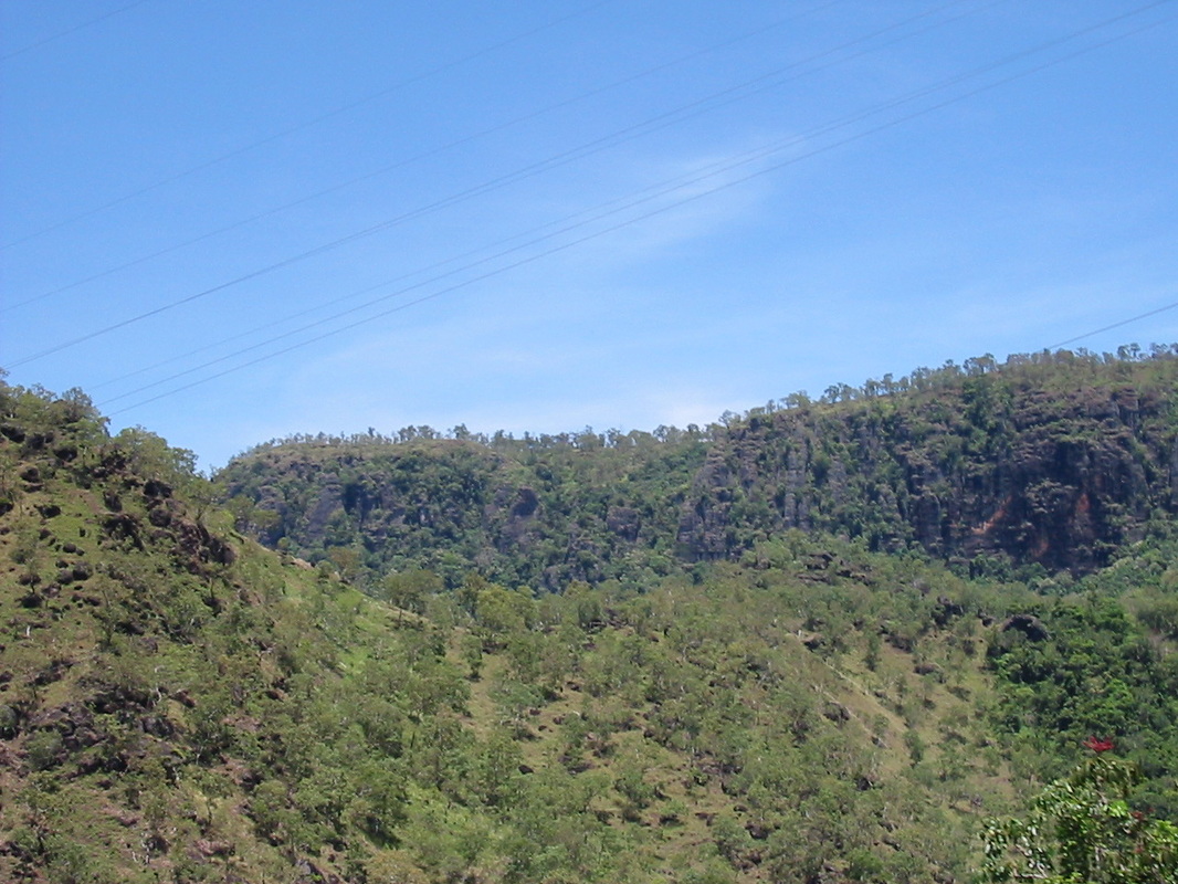
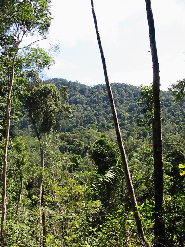
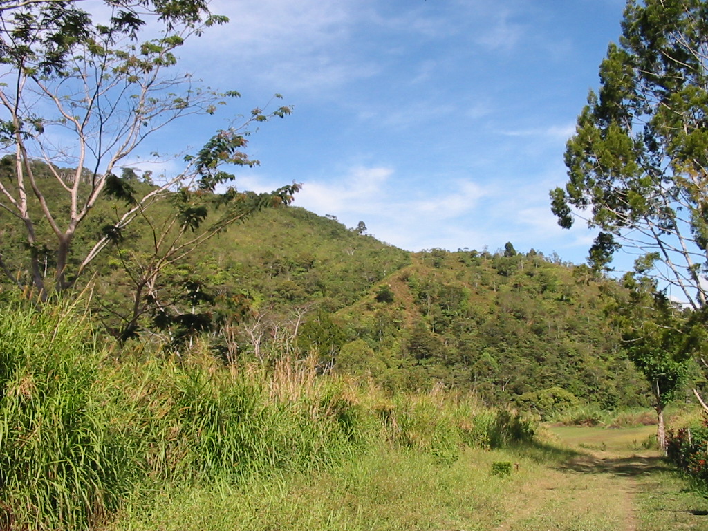
The walk covered some 7 hours, 12 kms and some of the toughest, steepest, muddiest and loveliest country you could imagine.
When the dust settled (and the mud dried) and we were returning on the bumpy road I reflected on our performance.
All in all one tough day and just the leveller I/we needed for the big walk in September.
John Briscoe
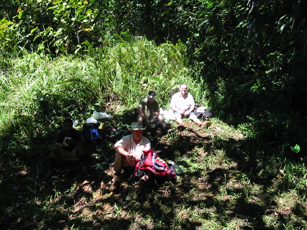
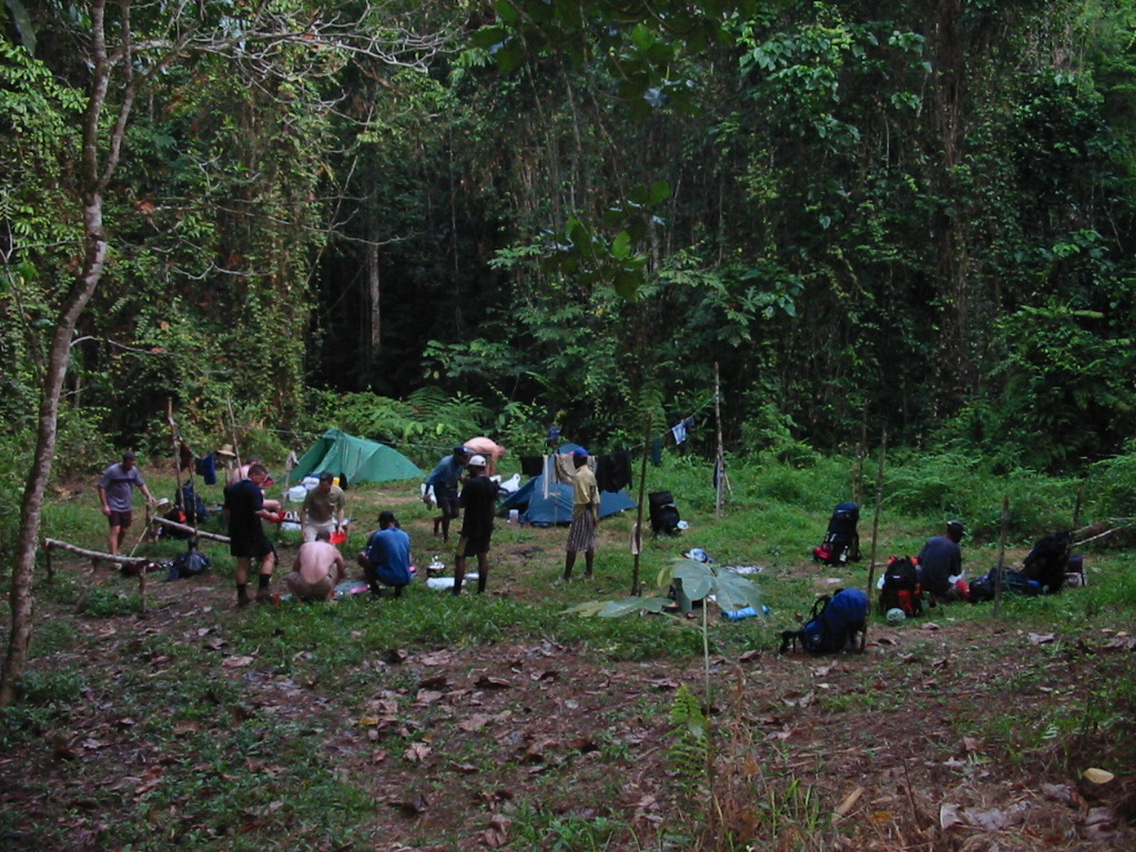
The actual walk
Evening of the 1st day
When several of the party took time out, the workers spent time to make sure no issues were going to come up in our absence.
Finally we all left to meet up with Stuart who had agreed to transport us to Sogeri for the evening.
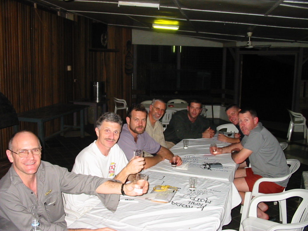
We finally left around 4pm and arrived at the Kokoda Motel around 6pm.
We then had a few beers and repacked all the bags with the porters who had now joined us.
Dinner was a BBQ with crocodile kebabs, chicken, salad and chips. We also drank some red wine.
Off to bed to find our first cold showers and the beds (well horizontal slabs – very soft).
Day 1 – Sept 11th
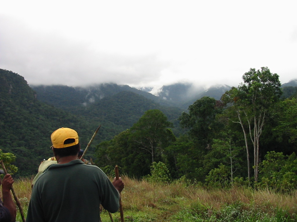
We had earlier arranged for breakfast at 6am and then picked up the bus to take us to Owers Corner. WE started with some minor dramas as a large tree had blocked the road. Finally we got to Owers Corner at 9am where without any delay proceeded on the descent to the Goldie River.
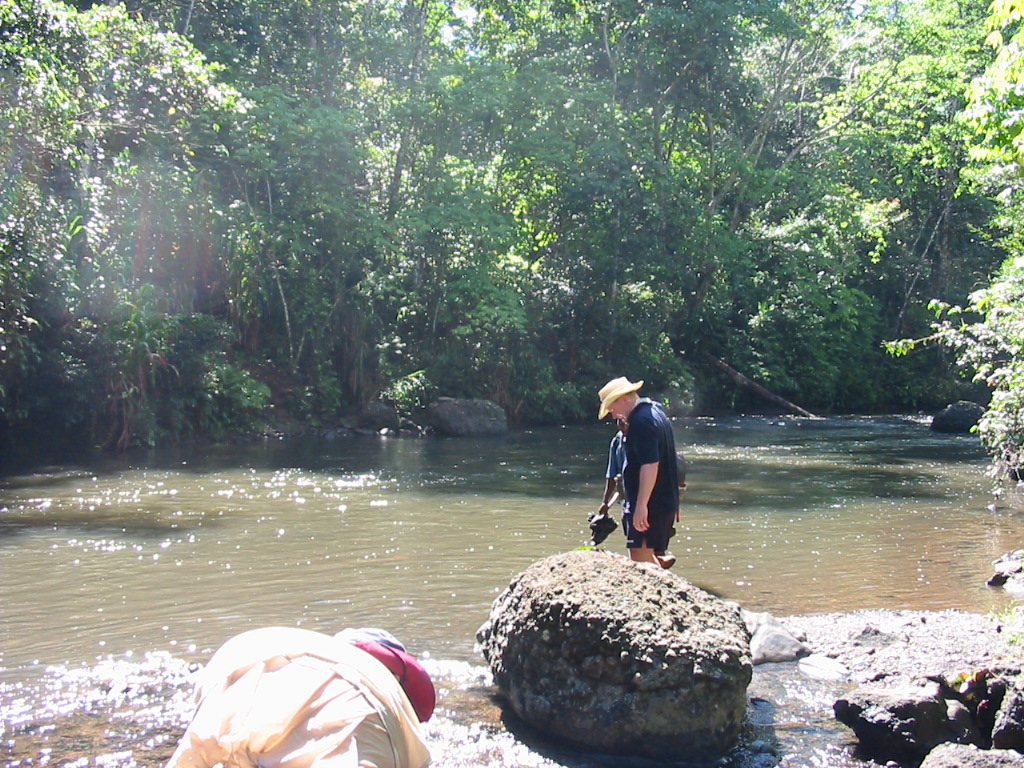
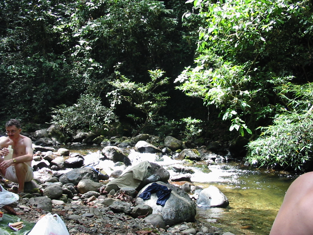
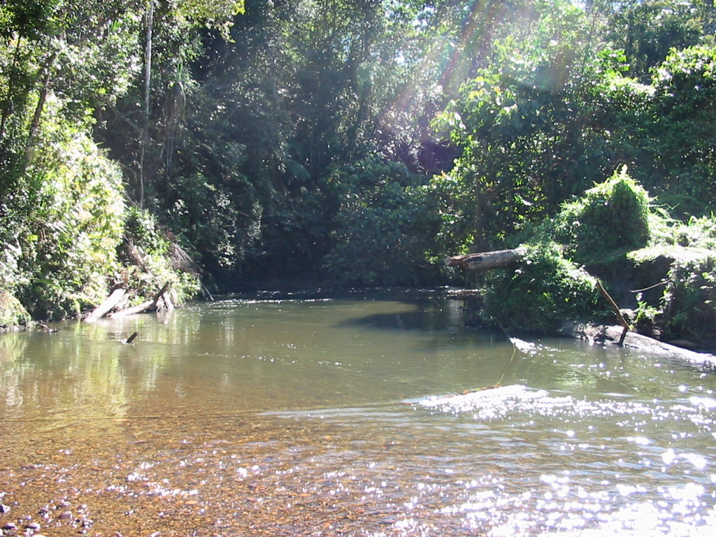
It was soon apparent that the trek was much drier than our earlier visit. We all made it to the Goldie River and crossed without mishap.
However, on the other bank, John Kay was feeling decidedly unwell. We decided to have morning tea.
Soon we were off up Imita Ridge. The climb was our first real test and we all felt the hot conditions. We arrived at the top of the “Golden Stairs” around 1pm.
The descent and subsequent numerous creek crossings were long and arduous and by the time we reached camp we were all pretty tired.
We washed and had dinner and retired fairly early. After a few falls and a full dunking in the creek, I was absolutely shagged by now and could not stay on my feet. My knee was hurting by this time and I resorted to pain-killers.
Dinner was pasta, Mexican beans and chilli beef with cold date pudding.
Overall the trip from Owers Corner to Ule-Ule Creek was 10.5 kms.
The end of Sept 11th was quiet and the group speculated on what might have happened.
Day 2 – Sept 12th
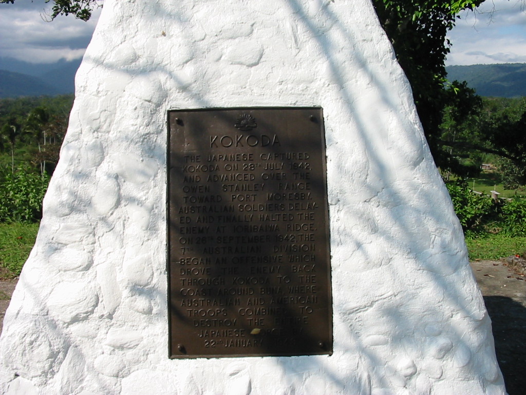
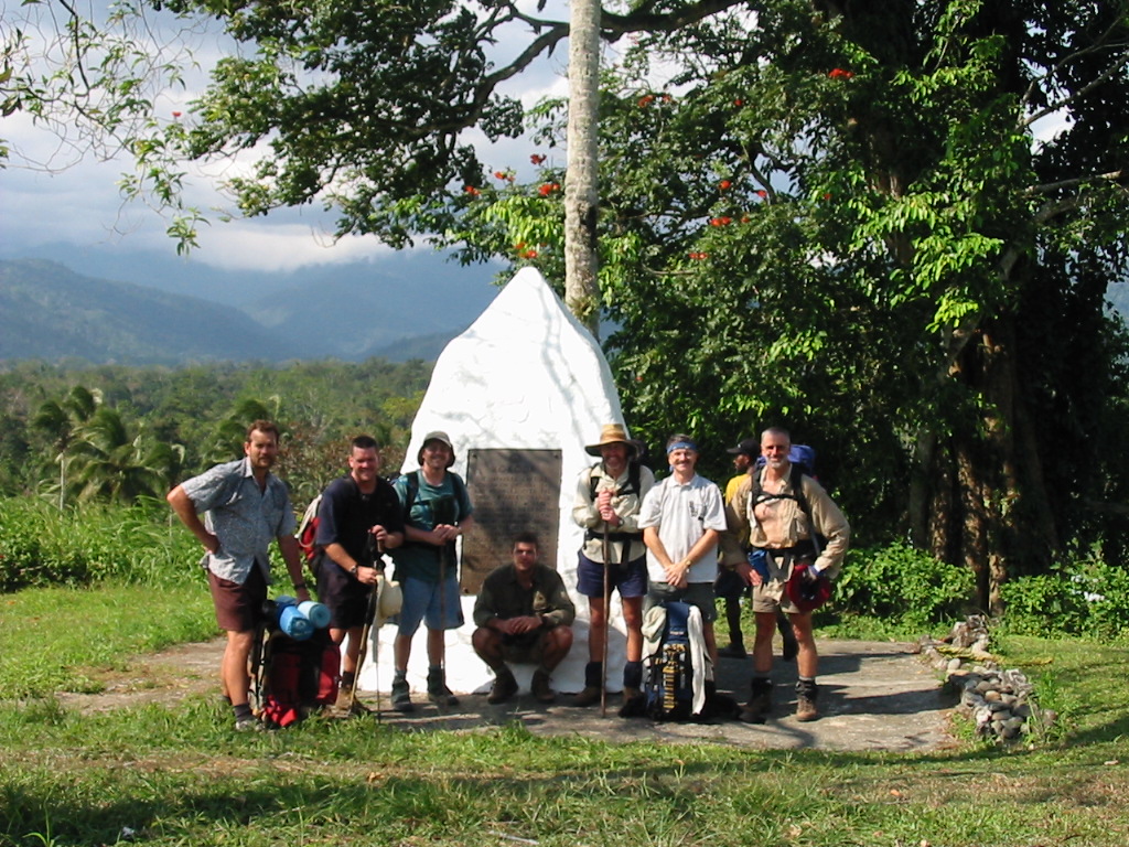
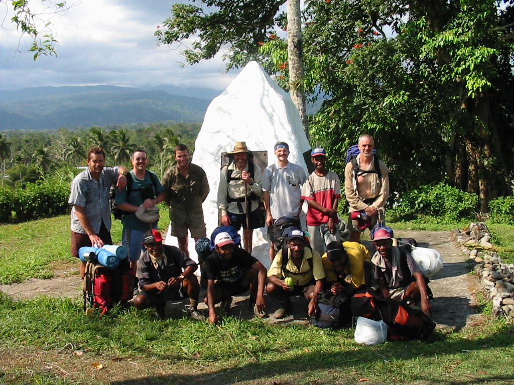
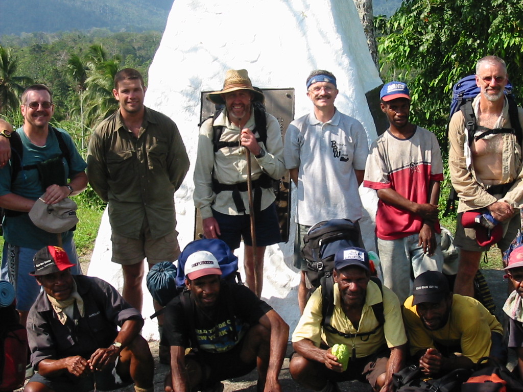
Over breakfast, the talk was on who snored the loudest. It was to be an ongoing debate. Off at 7am to the first stop Ioribaiwa Ridge. The track saw us climb and pass through an abandoned village. The ridge was the most southerly point that the Japanese reached. On the ridge we saw the “Machine Gun” tree.
We continued down again to Ofi Creek for our mid-morning break before the next big climb to the top of the Maguli Range (1300m). Our first stop “The Grass Section” at 900m. Although strung out we all reached the top.
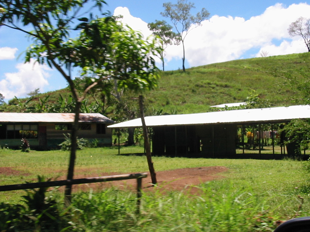
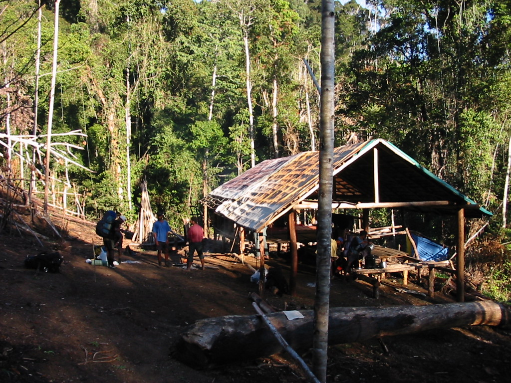
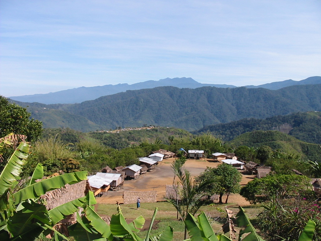
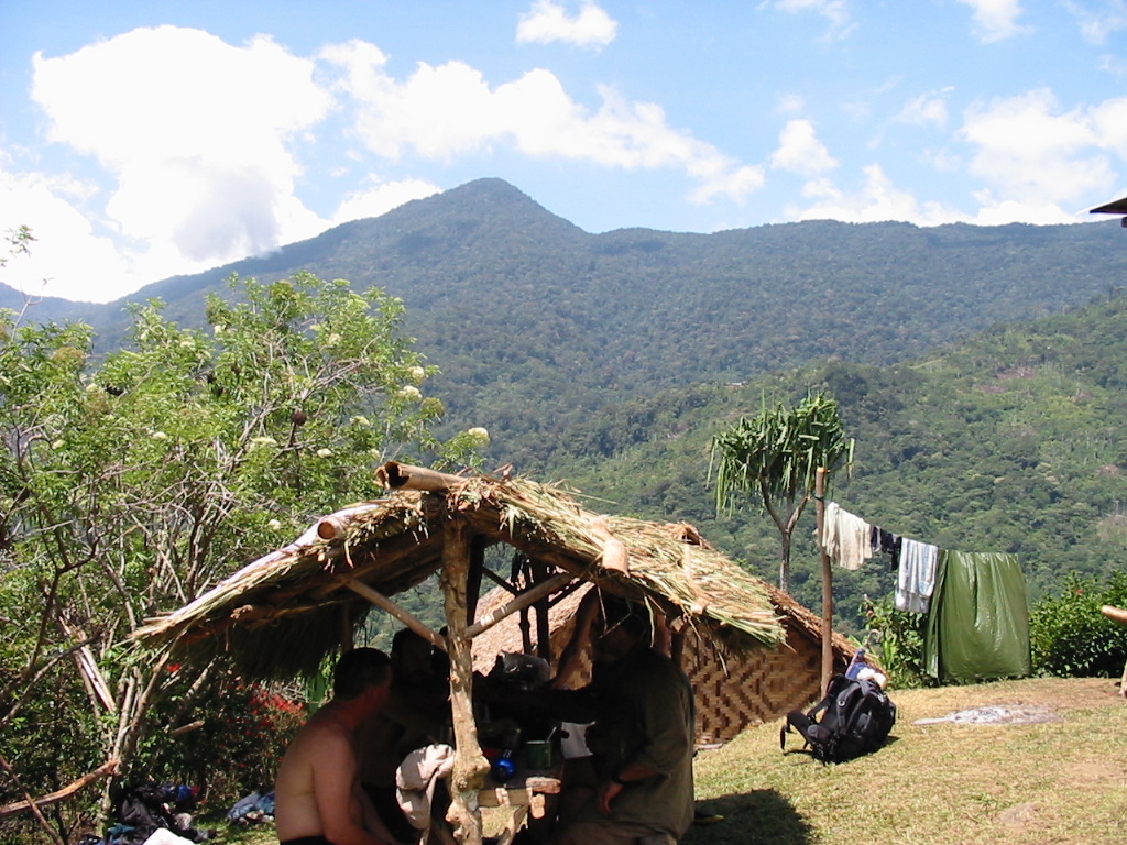
We then went down to the village of Naoro. The “Guest House” was a rough shelter with a raised floor and roof. Unfortunately the roof was not raised enough and I found my head was hitting the poles regularly.
Overall we covered a distance of 16.2kms over 10hours and 1350m at the peak of the Maguli Range.
Day 3 – Sept 13th
Left Naoro around 7.30am and walked through “The Swamp”. We could easily imagine how tough this hot and oppressive walk would have been if it was wet.
Fortunately it was quite dry and we arrived soon at the Brown River. We climbed up the Saddle.
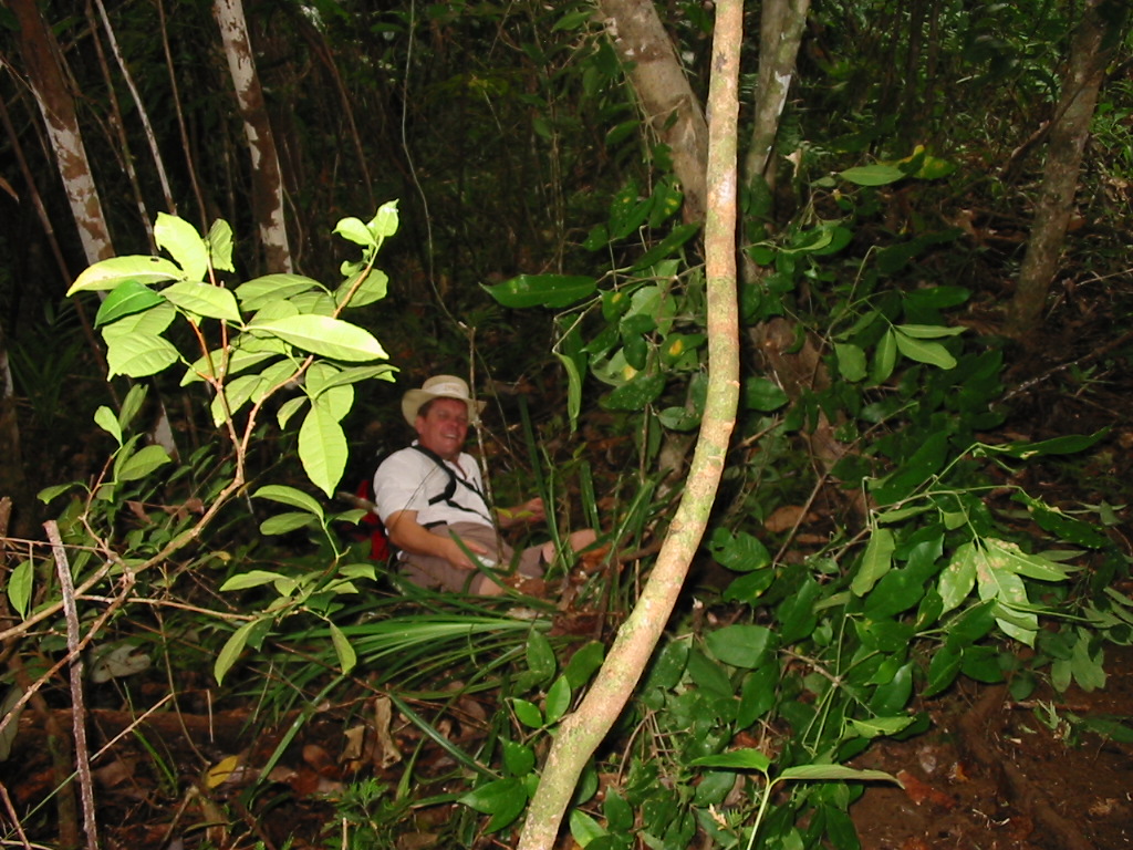
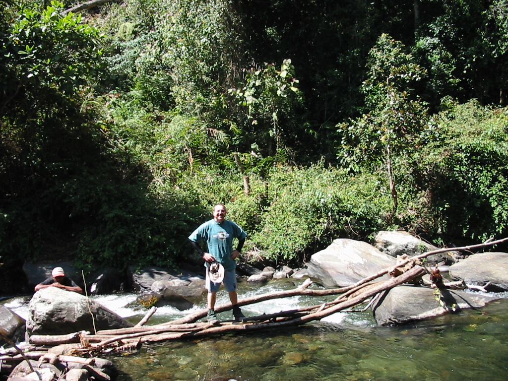
Finally on to the village of Menari. This was a beautiful village and we purchased bananas from the local villagers. We continued through the village and on to a lovely creek. Here we had a swim and lunch while discussing the impending climb up “Brigade Hill”.
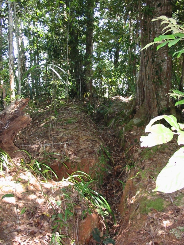
Apart from the first steep climb the remainder of the climb was lovely and very peaceful. Dappled light filtered through the trees on a path strewn with fallen leaves. By now it is getting cooler as well. The battles fought on this hill are legendary and the walk allows you time to reach a deep sense of understanding of how difficult it must have been. There were plenty of signs of the conflict and the trenches dug.
Brigade Hill was 1415m and we all continued on into the village of Efogi.
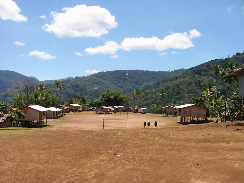
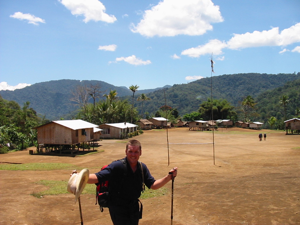
We arrived at Efogi after a long walk down from Brigade Hill. We picked up water from a nearby creek and then on into the village.
At Efogi we arrived to some confusion as to our proposed lodgings. One house had our “Comfort Box” which was destined for Kagi. Some heated discussions followed before the situation was resolved. Finally the Village Chief decided the matter and we slept soundly on the new rations and red wine.
The walk to Efogi took 9 hours and covered 14kms. We then decided to have our rest day here.
Day 4 – Sept 14th
We all slept late and did some washing. Some of the group went up to the village and listened to the choir singing in the church. Lindi, the local owner of the Guest House told us stories about the battle around Efogi and Brigade Hill. It was very sobering and our thoughts returned to the hill and the unmarked graves from both sides still there.
Afterwards we wend back to the Guest House and played cards. Had spaghetti bolognaise and red wine for dinner. It is now getting quite cold in the evenings as we reach these altitudes. We all retire early for the next day to Myola Lakes.
Day 5 – Sept 15th
We left Efogi 1 and immediately climbed another bloody big hill to Efogi 2. We walked through this village and continued on to Naduli.
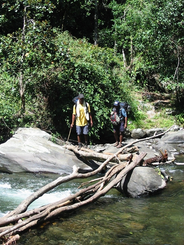
Crossed another raging river on the “log bridges” and after some more climbing reached Naduli.
We purchased some mandarins and looked back over the village to see Kagi in the distance (on the next ridge).
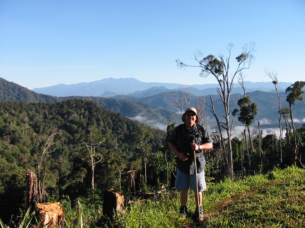
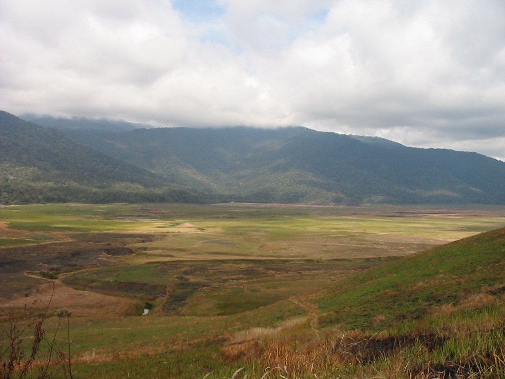
After making accommodation arrangements for Myola Guest House we set off on what was in hindsight, a fairly comfortable walk. We had a break at one of the numerous creeks before setting off on the last climb up to the “Lake”. We were now at 1945m.
On the way up we passed Billy’s other group who were heading for Efogi (and we think for our Comfort Box). We continued to climb for an hour then we reached the top and saw the huge amphitheatre called Myola Lakes.
From the ridge you could see the Guest House in the far distance.
Again we were glad it was so dry but even so the track was very boggy in spots. The crossing took nearly 2 hours.
After settling in, several brave souls went for a wash in the mountain stream. To say it was “bloody freezing” was an understatement.
My blisters are now very sore and I spent the day in my joggers to give them some relief. At this point I am very weary and leg-tired. I haven’t really had a good night’s sleep since starting.
Dinner was freeze-dried mince, deb potatoes, instant peas/carrots plus 2 bottles of red wine. The Guest House at Myola was a bamboo structure with 8 individual rooms and beds (with blankets fortunately). The temperature dropped rapidly as we played 500.
Soon it was too cold to be pleasant and we all packed it in, but I was not finished as a gripping pain preceded a violent diarrhoea attack. Made a bit of a mess in the “toilet” and finally made it back to bed. Thanks also to Shane and his Imodium tablets which effectively prevented any further attacks.
Later I woke absolutely freezing to see all my blankets on the floor.
It was an absolute shit of a night.
Finally – Day 6 – Sept 16th – INDEPENDENCE DAY
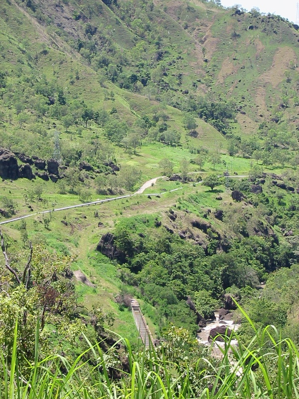
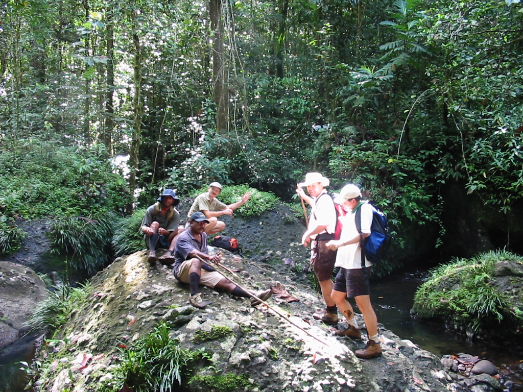
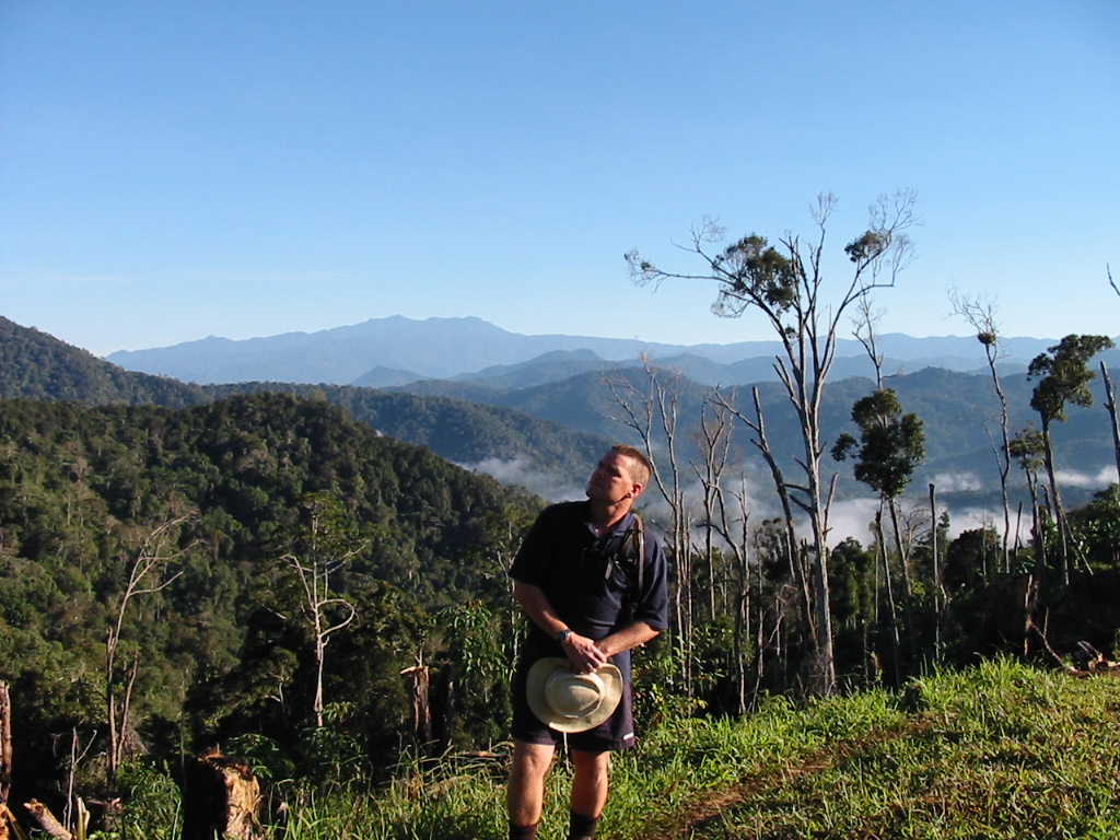
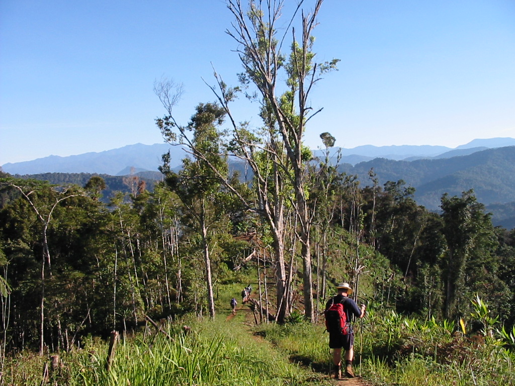
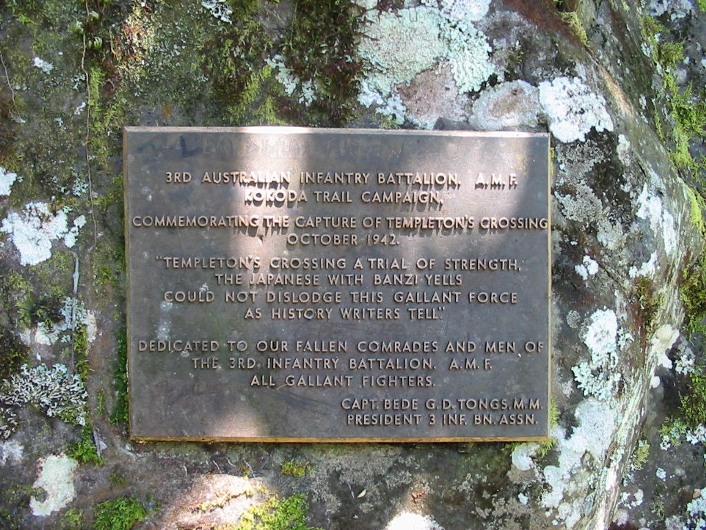
We woke up to a frost and a low-level mist rising from the lake. Had porridge for breakfast and then set out. I actually am now feeling a lot better and we crossed the lake in an hour and then set out for the Kagi intersection. We refilled our water bottles (a constant activity in the numerous creeks we have crossed), and then set out for the Kokoda Gap. This is near to Mt Bellamy. We had now reached 2199m, the highest part of our journey. We had lunch and then headed down. We now travel more down than up as we descend to Kokoda in a few days time. We cross a couple of creeks until we reach Templeton’s Crossing and camp for the night. It is around 2pm so we have an easy afternoon. Overall, we walked a 16km day.
Feet are now really sore with the downhill “knee trembles”. Set up camp and washed in the creek (still pretty cold – freezing). Currently sitting around the fire. It is 4.30pm and the sun has dropped below the mountains.
We have 2 nights to go and the mood is good. We now know we will make it. The highs and lows of the past 6 days are starting to fade. Only the photos, these notes and our fading memories will ensure this journey is never forgotten. Sitting around the fire is just great.
After dinner, we again retired to our tents for the night. “Another restless night”.
Day 7 – Sept 17th
Woke and had a light breakfast. Left Templeton’s around 8am and set off. First stop was the Iora Creek. The memorials are all around showing the extent of the fighting on these two ridges, Japanese on the North and Australian troops on the South. Once again you get the feeling that you would like to stay and explore, but the timetable does not allow it.
Off to Alola which was an up and down walk ending with a very steep climb to the village. It is now also a lot hotter.
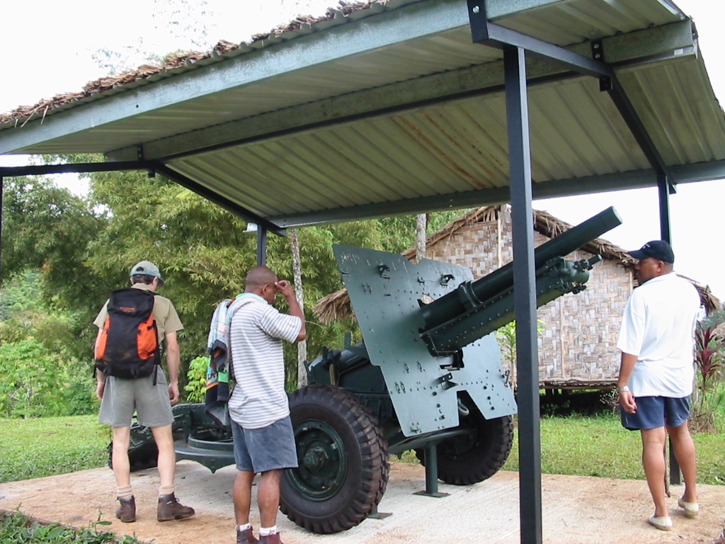
For lunch we had Thai chicken curry which was then overshadowed by lunch brought out by the villagers, steamed corn on the cob, boiled potatoes and some vegetables, very nice indeed. We also looked at their war memorabilia, some old rifles and other mementoes including a grenade, rusted but still with the pin in. A little concern was expressed. We filled our water bottles at the creek outside the village. Shane played soccer with the kids.
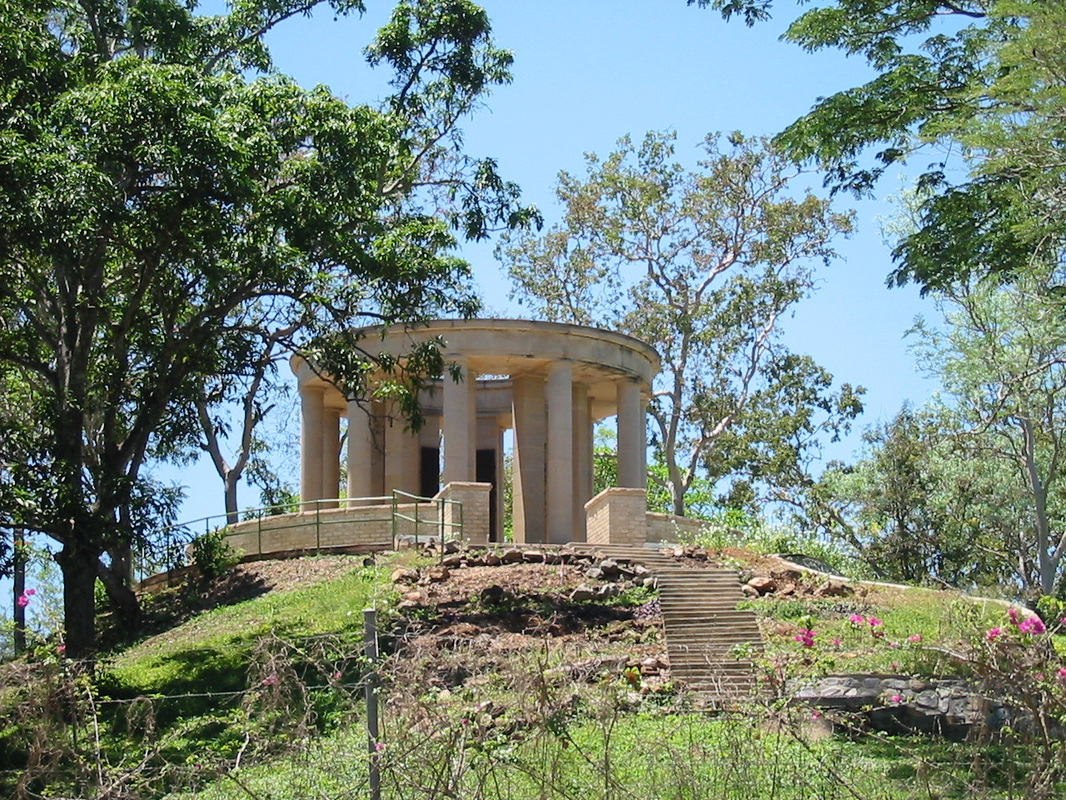
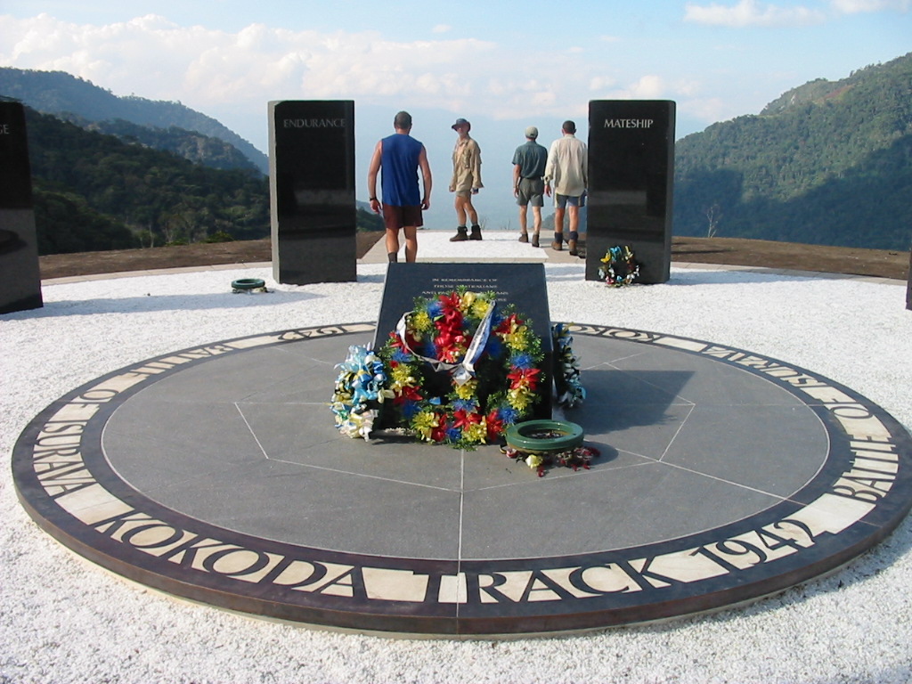
Later we set off for Isurava and the “New Monument”. Once again a difficult climb and we got to the monument around 4.30pm. Even though we are on the final descent, the hills and gullies are still prevalent. We stayed the night in the hutches erected near the site and after dinner we sat on the hill (overlooking the memorial) to watch the cloud come in up the valley. With it came some light rain.
Day 8 – Sept 18th
Woke to a nice day as the cloud lifted. Porridge for breakfast. Ivan is the only local who seems to like it.
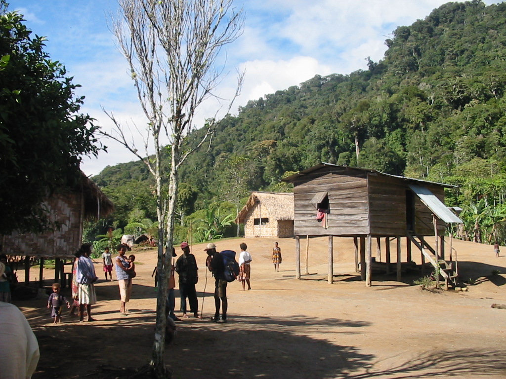
Around 7.30am we walked up to Isurava Village and had morning tea. Once again the villagers brought out bananas and hot potatoes.
Set off down the long hill. Knees and feet are killing me. Eventually we got to Hoi Village. It is now very hot again as we drop down onto the plain. Currently 1.40pm. Had lunch at the local creek and rested during the heat of the day.
We had finally got down to the flats and the “Tractor Trek”. Easy walking but Brendan was not finished with us as he set a mean pace into Kokoda.
One and a half hours later, we arrived at the Kokoda Memorial and just a few minutes later, a cold beer (lovely).
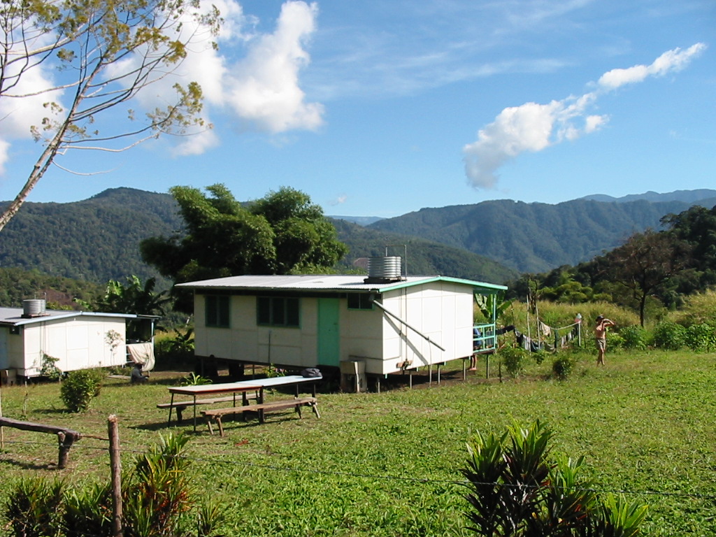
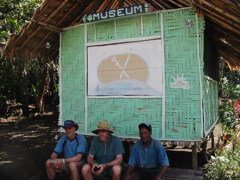
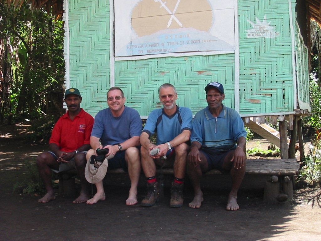
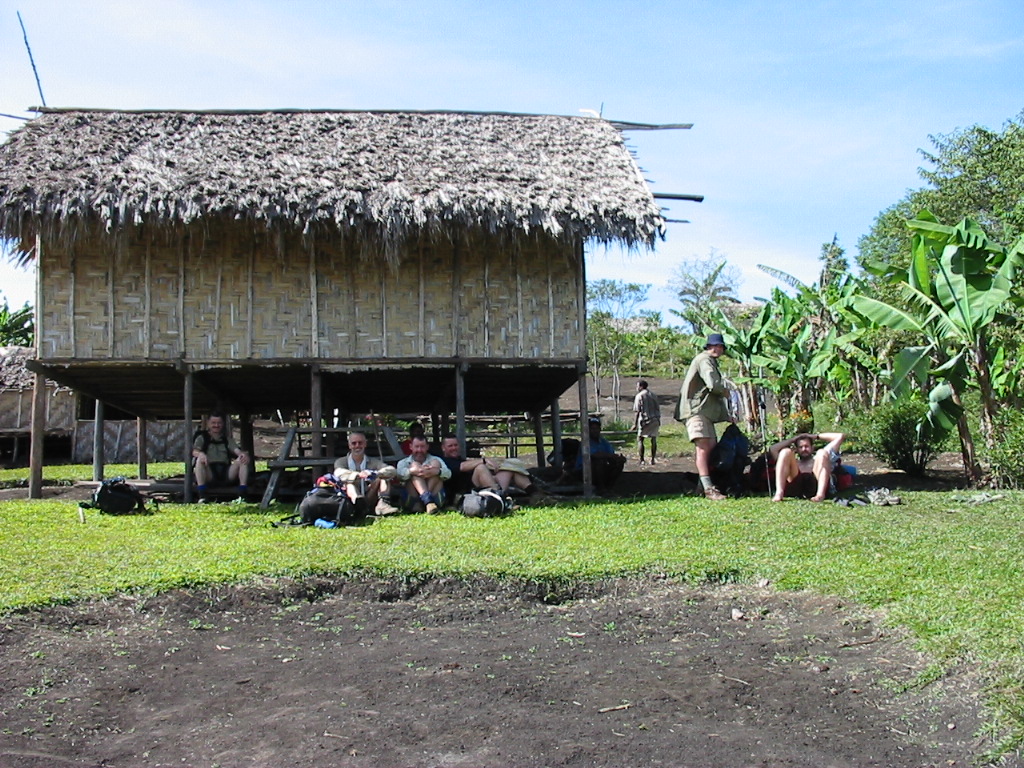
We then made our way back to the Guest House which is on the hospital grounds (and in fact the Guest House funds keep the hospital running). The Guest House has electric light and HOT showers and a proper dunny. We then sorted through the gear and made small gifts to the porters.
I gave Rex my boots. He not only carried my original pack but he walked the whole way in bare feet and occasionally thongs.
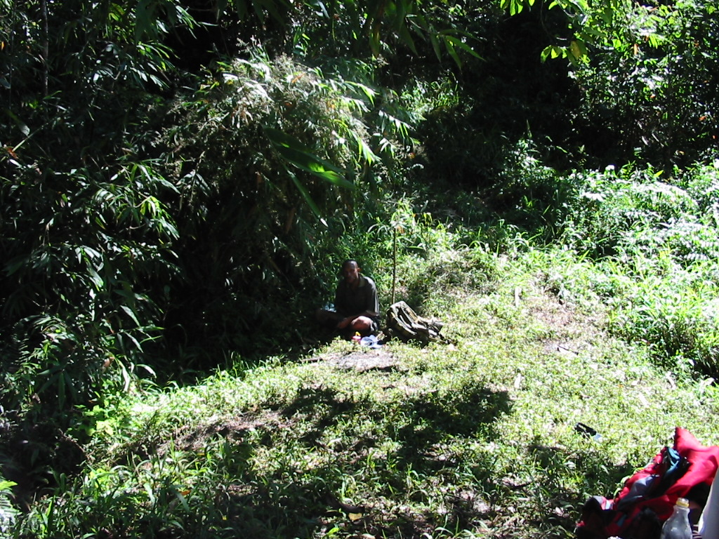
The Nationals were –
Bobby – the Reader
Ivan - the Organiser
Sebbi – the Guide
Abau – the Frontman
Noel – the Youngest
Rex – the Old Carrier
Big dinner and we were able to wash up in hot water, then a game of cards.
At 8pm the locals rejoined us and we gave them a small bonus.
That night we went to sleep knowing that we had made it and the walking was OVER. Even a midnight run to the dunny could be easily managed.
Day 9 – Sept 19th - THE FINAL DAY
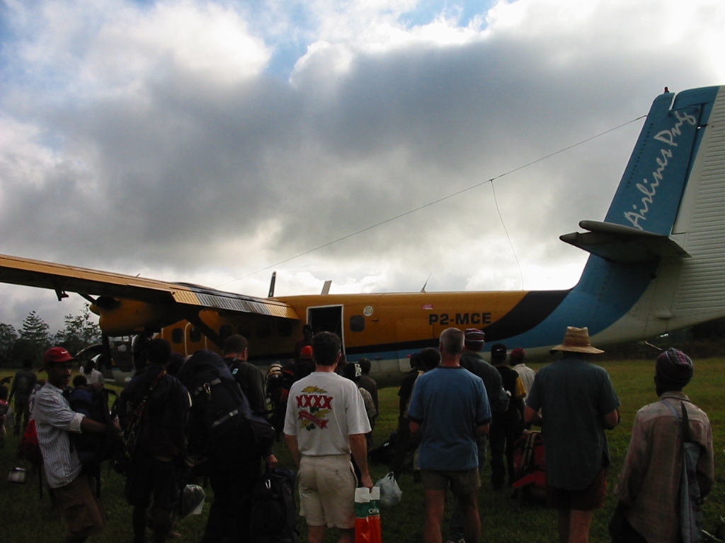
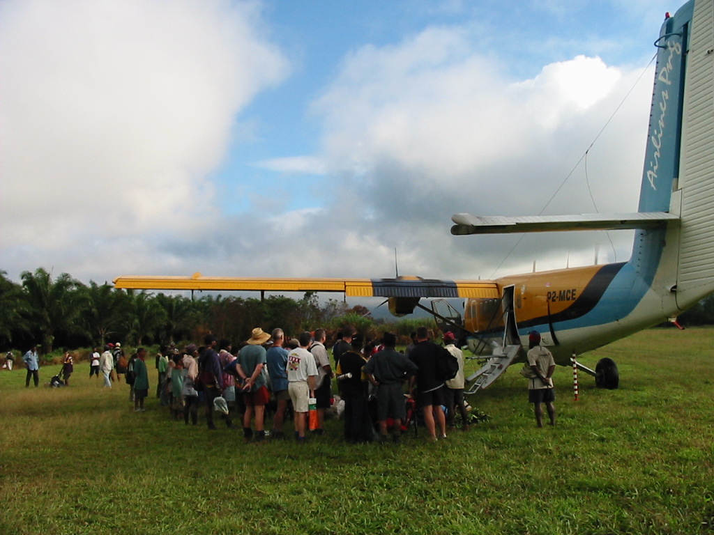
Everyone was up and ready to go and at 6.30am we left for the airport. Did I say no more walking? Full packs and 45 minutes later we reached the tiny departure lounge at Kokoda. It was really steamy and hot for this early and we were all sweating (once again) by the time we got there.
The attendants weighed the packs and then us, to calculate the total planeload. While we were waiting there for the plane, we auctioned off the surplus gear. I scored 30m of mountaineering rope for $20.
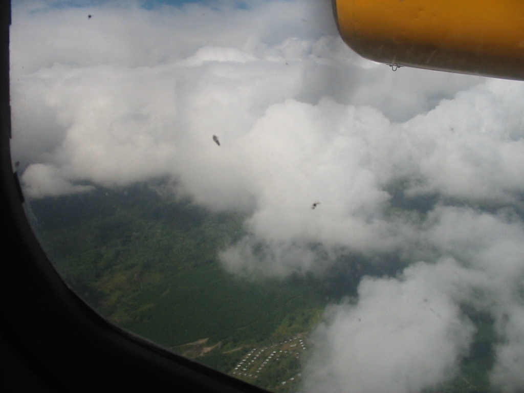
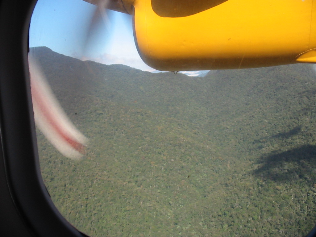
Soon enough the plane arrives and it is apparent that most of the incoming passengers and luggage were still destined for Kagi. After much debate, we stayed while the plane left for Kagi and a subsequent return. We have our tickets and our boarding passes but uncertainty hangs in the air. It is now 8.10am and hot. We seek the shade of the terminal. There is not a breath of wind. Finally the Twin Otter comes back. The landing and take off are short distances and terrific.
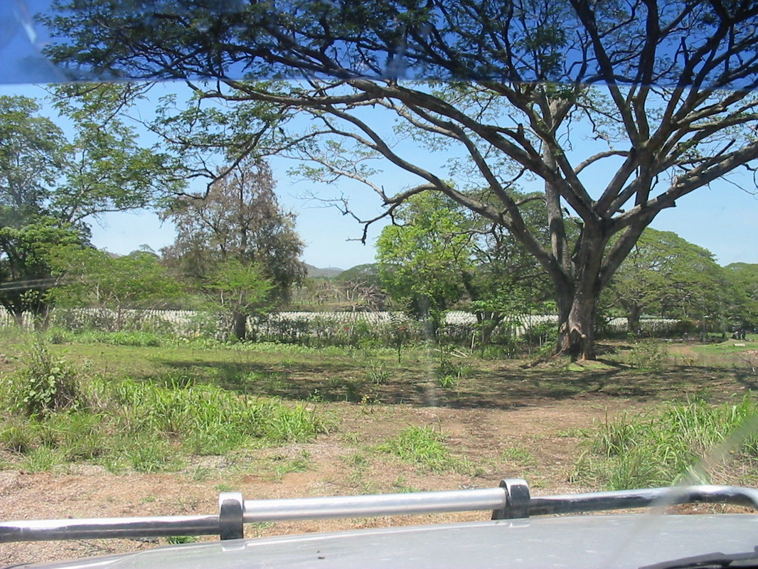
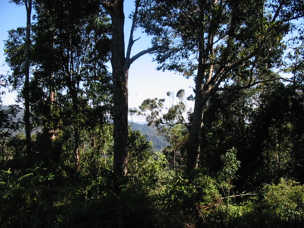
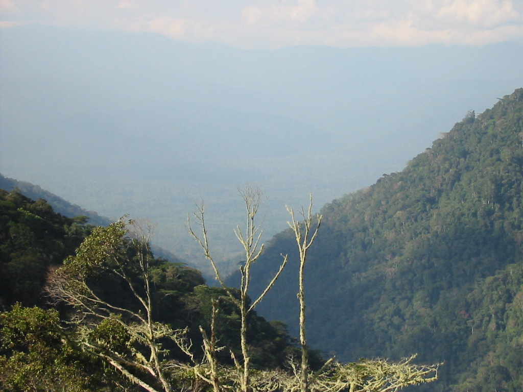
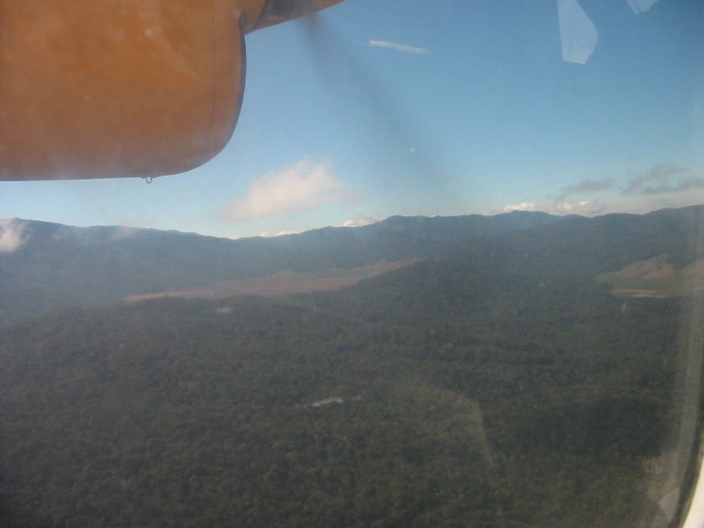
The flight back was fantastic as we retraced our trek. From the air, the villages we visited were like tiny islands in a sea of jungle. Mountains fall into deep ravines.
20 minutes later we touch down in Port Moresby.
Postcript
The track meant a different thing to each and every one of us. The experience, the friendships and the challenge will never be forgotten.
I trust this account will bring back the memories and please feel free to share your own experiences and make this a living document.
John Briscoe
--oo0oo--
The photos
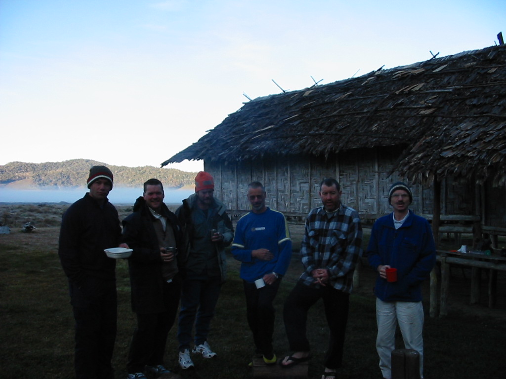
The Walkers
Brendan Coombs (the leader)
Nick Brooking (the agile)
John Kay (The strength of recovery)
Brian Wearing (Took the time to smell the roses)
Shane Kelly (Mr Legs)
Gavin Wearing (the Gun)
John Briscoe (the scribe)
Prescript
13 July 2002.
The official start of the Kokoda Track, Owens Corner, saw the resplendent group of Brendan Coombs, Nick Brooking, Keith Wilson and myself ready to embark on a spirited walk up to Imiti Ridge and back the other Saturday.
The walk covered some 7 hours, 12 kms and some of the toughest, steepest, muddiest and loveliest country you could imagine.
When the dust settled (and the mud dried) and we were returning on the bumpy road I reflected on our performance.
- Nick Brooking 9 out of 10 (seasoned bushwalker, no falls and no walking stick)
- Brendan Coombs 7 out of 10 (experienced Kokoda walker but carrying some weight, one fall)
- Keith Wilson 5 out of 10 (1 fall and did it tough in spots)
- Myself 4 out of 10 (coming to grips with just turning 50, 3 falls, and cramps- Did not make it back up the hill with the pack – assistance from Keith and Nick)
All in all one tough day and just the leveller I/we needed for the big walk in September.
John Briscoe
The actual walk
Evening of the 1st day
When several of the party took time out, the workers spent time to make sure no issues were going to come up in our absence.
Finally we all left to meet up with Stuart who had agreed to transport us to Sogeri for the evening.
We finally left around 4pm and arrived at the Kokoda Motel around 6pm.
We then had a few beers and repacked all the bags with the porters who had now joined us.
Dinner was a BBQ with crocodile kebabs, chicken, salad and chips. We also drank some red wine.
Off to bed to find our first cold showers and the beds (well horizontal slabs – very soft).
Day 1 – Sept 11th
We had earlier arranged for breakfast at 6am and then picked up the bus to take us to Owers Corner. WE started with some minor dramas as a large tree had blocked the road. Finally we got to Owers Corner at 9am where without any delay proceeded on the descent to the Goldie River.
It was soon apparent that the trek was much drier than our earlier visit. We all made it to the Goldie River and crossed without mishap.
However, on the other bank, John Kay was feeling decidedly unwell. We decided to have morning tea.
Soon we were off up Imita Ridge. The climb was our first real test and we all felt the hot conditions. We arrived at the top of the “Golden Stairs” around 1pm.
The descent and subsequent numerous creek crossings were long and arduous and by the time we reached camp we were all pretty tired.
We washed and had dinner and retired fairly early. After a few falls and a full dunking in the creek, I was absolutely shagged by now and could not stay on my feet. My knee was hurting by this time and I resorted to pain-killers.
Dinner was pasta, Mexican beans and chilli beef with cold date pudding.
Overall the trip from Owers Corner to Ule-Ule Creek was 10.5 kms.
The end of Sept 11th was quiet and the group speculated on what might have happened.
Day 2 – Sept 12th
Over breakfast, the talk was on who snored the loudest. It was to be an ongoing debate. Off at 7am to the first stop Ioribaiwa Ridge. The track saw us climb and pass through an abandoned village. The ridge was the most southerly point that the Japanese reached. On the ridge we saw the “Machine Gun” tree.
We continued down again to Ofi Creek for our mid-morning break before the next big climb to the top of the Maguli Range (1300m). Our first stop “The Grass Section” at 900m. Although strung out we all reached the top.
We then went down to the village of Naoro. The “Guest House” was a rough shelter with a raised floor and roof. Unfortunately the roof was not raised enough and I found my head was hitting the poles regularly.
Overall we covered a distance of 16.2kms over 10hours and 1350m at the peak of the Maguli Range.
Day 3 – Sept 13th
Left Naoro around 7.30am and walked through “The Swamp”. We could easily imagine how tough this hot and oppressive walk would have been if it was wet.
Fortunately it was quite dry and we arrived soon at the Brown River. We climbed up the Saddle.
Finally on to the village of Menari. This was a beautiful village and we purchased bananas from the local villagers. We continued through the village and on to a lovely creek. Here we had a swim and lunch while discussing the impending climb up “Brigade Hill”.
Apart from the first steep climb the remainder of the climb was lovely and very peaceful. Dappled light filtered through the trees on a path strewn with fallen leaves. By now it is getting cooler as well. The battles fought on this hill are legendary and the walk allows you time to reach a deep sense of understanding of how difficult it must have been. There were plenty of signs of the conflict and the trenches dug.
Brigade Hill was 1415m and we all continued on into the village of Efogi.
We arrived at Efogi after a long walk down from Brigade Hill. We picked up water from a nearby creek and then on into the village.
At Efogi we arrived to some confusion as to our proposed lodgings. One house had our “Comfort Box” which was destined for Kagi. Some heated discussions followed before the situation was resolved. Finally the Village Chief decided the matter and we slept soundly on the new rations and red wine.
The walk to Efogi took 9 hours and covered 14kms. We then decided to have our rest day here.
Day 4 – Sept 14th
We all slept late and did some washing. Some of the group went up to the village and listened to the choir singing in the church. Lindi, the local owner of the Guest House told us stories about the battle around Efogi and Brigade Hill. It was very sobering and our thoughts returned to the hill and the unmarked graves from both sides still there.
Afterwards we wend back to the Guest House and played cards. Had spaghetti bolognaise and red wine for dinner. It is now getting quite cold in the evenings as we reach these altitudes. We all retire early for the next day to Myola Lakes.
Day 5 – Sept 15th
We left Efogi 1 and immediately climbed another bloody big hill to Efogi 2. We walked through this village and continued on to Naduli.
Crossed another raging river on the “log bridges” and after some more climbing reached Naduli.
We purchased some mandarins and looked back over the village to see Kagi in the distance (on the next ridge).
After making accommodation arrangements for Myola Guest House we set off on what was in hindsight, a fairly comfortable walk. We had a break at one of the numerous creeks before setting off on the last climb up to the “Lake”. We were now at 1945m.
On the way up we passed Billy’s other group who were heading for Efogi (and we think for our Comfort Box). We continued to climb for an hour then we reached the top and saw the huge amphitheatre called Myola Lakes.
From the ridge you could see the Guest House in the far distance.
Again we were glad it was so dry but even so the track was very boggy in spots. The crossing took nearly 2 hours.
After settling in, several brave souls went for a wash in the mountain stream. To say it was “bloody freezing” was an understatement.
My blisters are now very sore and I spent the day in my joggers to give them some relief. At this point I am very weary and leg-tired. I haven’t really had a good night’s sleep since starting.
Dinner was freeze-dried mince, deb potatoes, instant peas/carrots plus 2 bottles of red wine. The Guest House at Myola was a bamboo structure with 8 individual rooms and beds (with blankets fortunately). The temperature dropped rapidly as we played 500.
Soon it was too cold to be pleasant and we all packed it in, but I was not finished as a gripping pain preceded a violent diarrhoea attack. Made a bit of a mess in the “toilet” and finally made it back to bed. Thanks also to Shane and his Imodium tablets which effectively prevented any further attacks.
Later I woke absolutely freezing to see all my blankets on the floor.
It was an absolute shit of a night.
Finally – Day 6 – Sept 16th – INDEPENDENCE DAY
We woke up to a frost and a low-level mist rising from the lake. Had porridge for breakfast and then set out. I actually am now feeling a lot better and we crossed the lake in an hour and then set out for the Kagi intersection. We refilled our water bottles (a constant activity in the numerous creeks we have crossed), and then set out for the Kokoda Gap. This is near to Mt Bellamy. We had now reached 2199m, the highest part of our journey. We had lunch and then headed down. We now travel more down than up as we descend to Kokoda in a few days time. We cross a couple of creeks until we reach Templeton’s Crossing and camp for the night. It is around 2pm so we have an easy afternoon. Overall, we walked a 16km day.
Feet are now really sore with the downhill “knee trembles”. Set up camp and washed in the creek (still pretty cold – freezing). Currently sitting around the fire. It is 4.30pm and the sun has dropped below the mountains.
We have 2 nights to go and the mood is good. We now know we will make it. The highs and lows of the past 6 days are starting to fade. Only the photos, these notes and our fading memories will ensure this journey is never forgotten. Sitting around the fire is just great.
After dinner, we again retired to our tents for the night. “Another restless night”.
Day 7 – Sept 17th
Woke and had a light breakfast. Left Templeton’s around 8am and set off. First stop was the Iora Creek. The memorials are all around showing the extent of the fighting on these two ridges, Japanese on the North and Australian troops on the South. Once again you get the feeling that you would like to stay and explore, but the timetable does not allow it.
Off to Alola which was an up and down walk ending with a very steep climb to the village. It is now also a lot hotter.
For lunch we had Thai chicken curry which was then overshadowed by lunch brought out by the villagers, steamed corn on the cob, boiled potatoes and some vegetables, very nice indeed. We also looked at their war memorabilia, some old rifles and other mementoes including a grenade, rusted but still with the pin in. A little concern was expressed. We filled our water bottles at the creek outside the village. Shane played soccer with the kids.
Later we set off for Isurava and the “New Monument”. Once again a difficult climb and we got to the monument around 4.30pm. Even though we are on the final descent, the hills and gullies are still prevalent. We stayed the night in the hutches erected near the site and after dinner we sat on the hill (overlooking the memorial) to watch the cloud come in up the valley. With it came some light rain.
Day 8 – Sept 18th
Woke to a nice day as the cloud lifted. Porridge for breakfast. Ivan is the only local who seems to like it.
Around 7.30am we walked up to Isurava Village and had morning tea. Once again the villagers brought out bananas and hot potatoes.
Set off down the long hill. Knees and feet are killing me. Eventually we got to Hoi Village. It is now very hot again as we drop down onto the plain. Currently 1.40pm. Had lunch at the local creek and rested during the heat of the day.
We had finally got down to the flats and the “Tractor Trek”. Easy walking but Brendan was not finished with us as he set a mean pace into Kokoda.
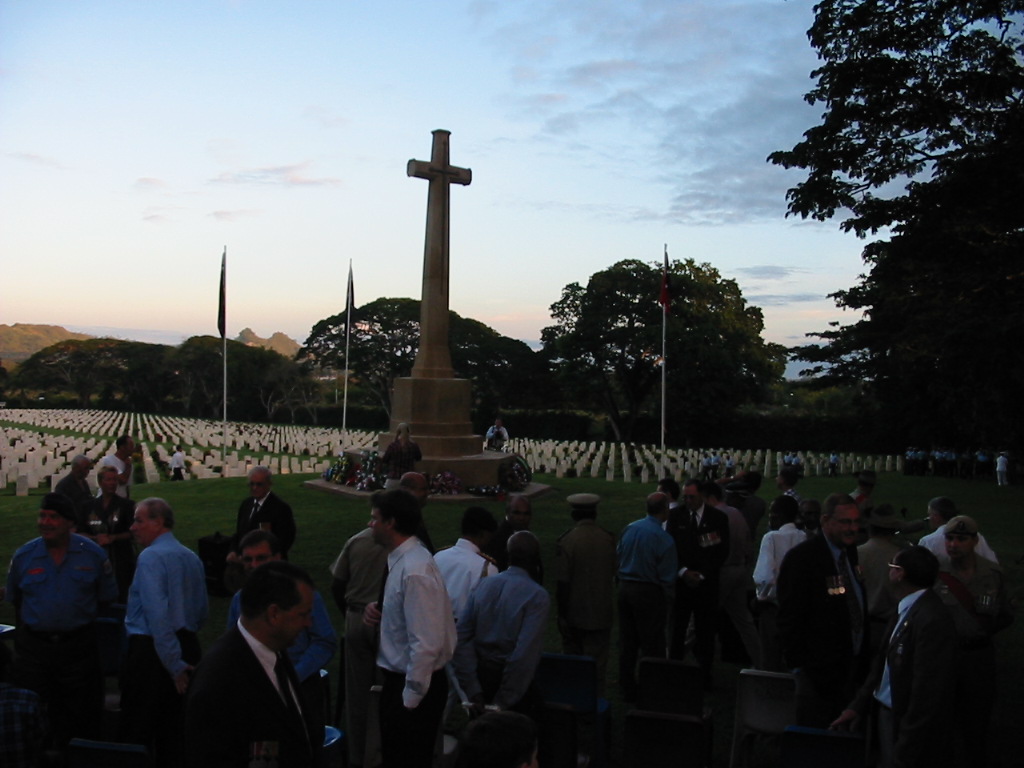
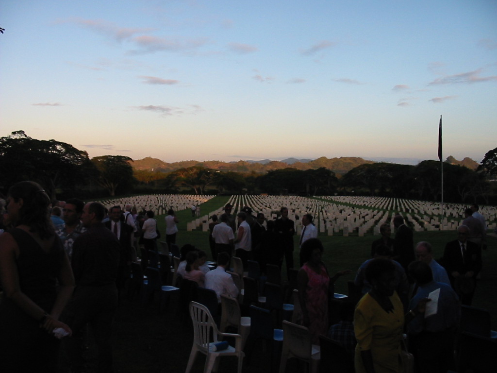
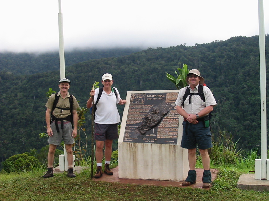
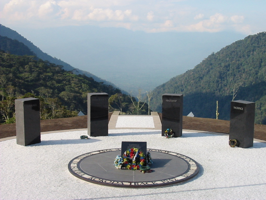
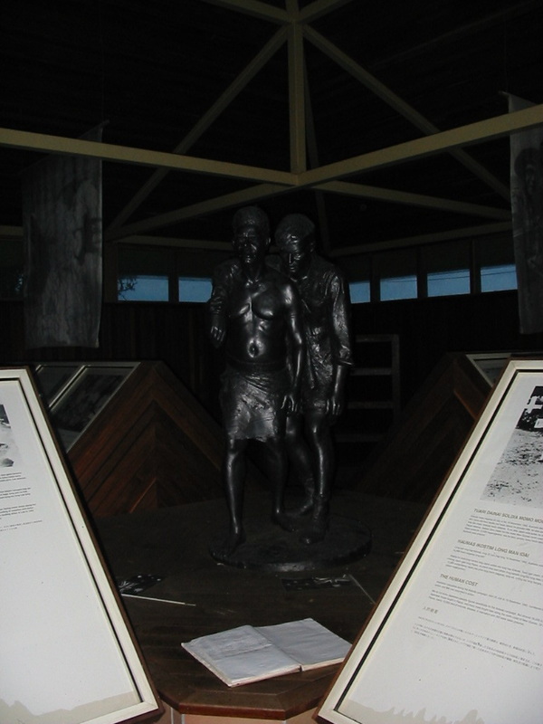
One and a half hours later, we arrived at the Kokoda Memorial and just a few minutes later, a cold beer (lovely).
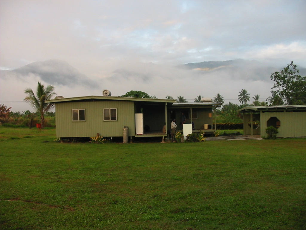
We then made our way back to the Guest House which is on the hospital grounds (and in fact the Guest House funds keep the hospital running). The Guest House has electric light and HOT showers and a proper dunny. We then sorted through the gear and made small gifts to the porters.
I gave Rex my boots. He not only carried my original pack but he walked the whole way in bare feet and occasionally thongs.
The Nationals were –
Bobby – the Reader
Ivan - the Organiser
Sebbi – the Guide
Abau – the Frontman
Noel – the Youngest
Rex – the Old Carrier
Big dinner and we were able to wash up in hot water, then a game of cards.
At 8pm the locals rejoined us and we gave them a small bonus.
That night we went to sleep knowing that we had made it and the walking was OVER. Even a midnight run to the dunny could be easily managed.
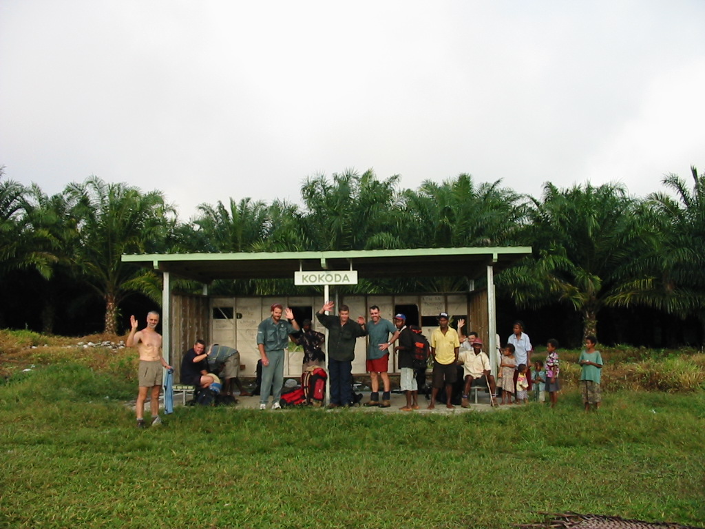
Day 9 – Sept 19th - THE FINAL DAY
Everyone was up and ready to go and at 6.30am we left for the airport. Did I say no more walking? Full packs and 45 minutes later we reached the tiny departure lounge at Kokoda. It was really steamy and hot for this early and we were all sweating (once again) by the time we got there.
The attendants weighed the packs and then us, to calculate the total planeload. While we were waiting there for the plane, we auctioned off the surplus gear. I scored 30m of mountaineering rope for $20.
Soon enough the plane arrives and it is apparent that most of the incoming passengers and luggage were still destined for Kagi. After much debate, we stayed while the plane left for Kagi and a subsequent return. We have our tickets and our boarding passes but uncertainty hangs in the air. It is now 8.10am and hot. We seek the shade of the terminal. There is not a breath of wind. Finally the Twin Otter comes back. The landing and take off are short distances and terrific.
The flight back was fantastic as we retraced our trek. From the air, the villages we visited were like tiny islands in a sea of jungle. Mountains fall into deep ravines.
20 minutes later we touch down in Port Moresby.
Postcript
The track meant a different thing to each and every one of us. The experience, the friendships and the challenge will never be forgotten.
I trust this account will bring back the memories and please feel free to share your own experiences and make this a living document.
John Briscoe
--oo0oo--
The photos


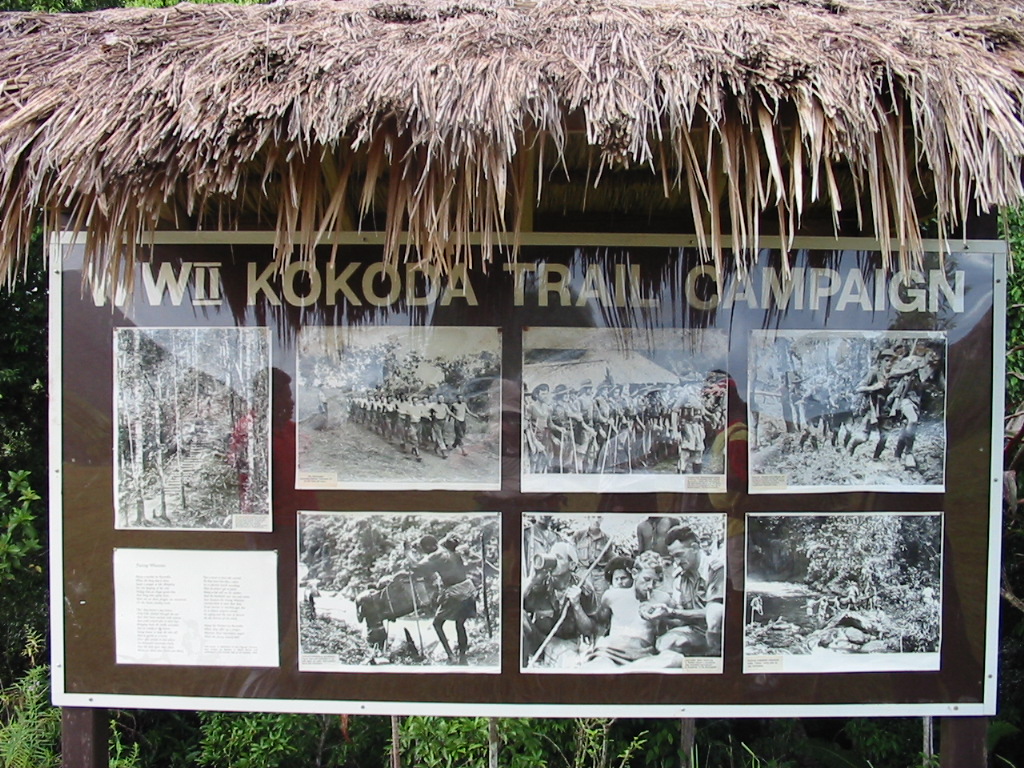


Additional History
KOKODA TRAIL I
IT WAS NOT THE FAULT OF 39 BATTALION THAT KOKODA WAS LOST. THE FAULT LAY IN THE FAILURE TO MAKE AN EARLY ASSESSMENT OF THE TRAIL, TO FORESEE THE POSSIBILITY OF THE JAPANESE USING IT ... AND TO TAKE IN GOOD TIME THE STEPS NECESSARY TO MEET SUCH A DEVELOPMENT. (COLONEL E.G. KEOGH, SOUTH WEST PACIFIC 1941-45)
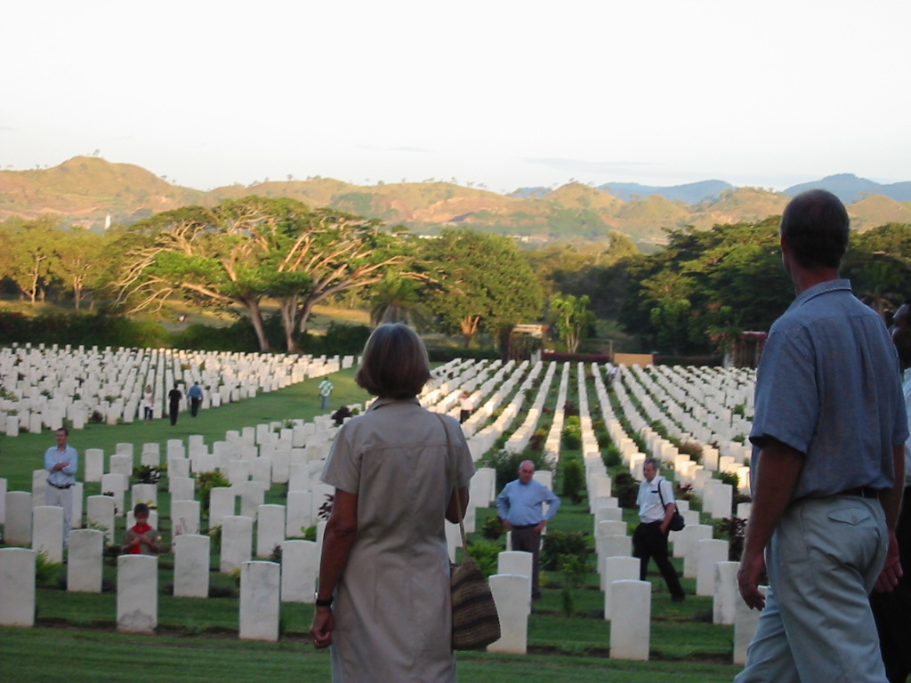
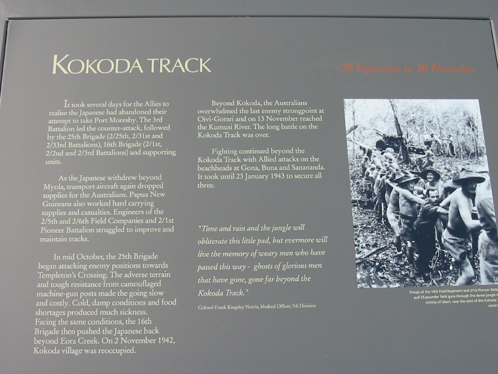
Australia's involvement in the long battle for the Kokoda Trail began on 21 July when the Japanese landed in Papua. A partial resolution of the conflict was not to come until November. The Japanese were finally driven out of Papua in January 1943.
In 1942 the administration of the island of New Guinea was divided into three sections. The western section was governed by the Netherlands and the eastern half, now the nation of Papua New Guinea, was further divided into two. The northern section was administered by Australia under mandate from the League of Nations while the southern part, Papua, was an Australian colony. The indigenous population of both Territories was estimated at about 1.5 million. The European residents numbered about 6,000. After Pear Harbour European women and children had been encouraged to return to Australia and by mid-February 1942 the Territories were under military control.
In mid-July General Douglas MacArthur, Allied Supreme Commander of South West Pacific Area, ordered that a force of Australian infantry and American engineers should move across the Koloda track to Buna to construct an airfield at Dobodura. (From 1942, under American influence, the track became known as the Kokoda Trail). By mid-1942, however, there was great pressure on troop numbers. Experienced soldiers of the AIF were fighting elsewhere, mainly in the Middle East and North Africa.
Major-General B.M. Morris, commanding the 8th Military District, had to rely at first only on the three militia units of the Australian Military Forces (AMF), the 39th, the 49th and 53rd and a Papuan Infantry Battalion, manned by indigenous Papuans under Australian officers. the AMF was originally formed by volunteer, part-time soldiers. Then, at the out-break of war, this force was augmented by the call-up of conscripts for home defence. New Guinea had been declared the 8th Australian Military District in mid-1942 to enable the use of conscripts in the war-zone. The 39th Australian Infantry battalion was a CMF unit. It was raised in October 1941 from volunteers in Victoria and arrived in Port Moresby in January 1942. When it was relieved during the Kokoda operations in September, the Battalion's strength of about 1500 had decreased, because of battle casualties and illness to 185.
In July 1942 the Papuan Infantry Battalion was joined by recent conscripts who arrived with little military training and whose average age was eighteen and a half. It was these forces that had to be called upon to mount the offensive. At first these young and ill-trained soldiers earned the pejorative nick-name of 'chocos' or 'chocolate soldiers'. This term came from George Bernard Shaw's play Arms and the Man, about a man who would not fight. It was first used during World War I about soldiers who had arrived in Egypt after Gallipoli. After their 'baptism of fire' at Kokoda and Milne Bay, however, the 'chocos' proved that they could fight bravely and well.
The Japanese had first landed in New Guinea in March, at Lae and Salamaua. Buna and Gona, where the Japanese landed in July, are south of these areas on the north east coast of Papua. 'As the crow flies' the area is less than 200 kilometres from Port Moresby. It is, however, separated from that town by the steep range of the Owen Stanley mountains. The only way over this range was by foot. Their losses at the battle of the Coral Sea and Midway had prevented the Japanese from invading Port Moresby by sea. Their objective in July was to approach the garrison town over the precipitous mountain track. The village of Kokoda was about half way between Port Moresby and Buna.
In the meantime, in June, the Australian Commander-in-Chief, General Sir Thomas Blamey, had ordered Major-General Morris to secure the village of Kokoda. Morris gathered together the best of his under-trained Australian and Papuan forces for the task.
Calling the troops 'Maroubra Force', he sent then towards Buna over the Kokoda track, with the object of preventing any Japanese advance and the job of holding the 'Kokoda Gap', a flat stretch of the Owen Stanleys. They left Port Moresby on 7 July reaching Kokoda on the 15th. Even before the troops met the enemy they had to fight conditions horrific to men untrained in jungle warfare. As well as the steepness of the track the young soldiers had to contend with rainforests dripping with moss and leeches as well as mosquito-infested swamps. Large numbers of men contracted malaria. Despite being in the tropics they were continually wet and cold in the incessant rain and high altitudes.
Their equipment, with 27 kilogram packs, heavy boots and khaki summer uniforms, was unsuitable for the conditions. Indeed the khaki allowed them to be seen against the green of the jungle. Camouflage and jungle-green uniforms arrived later in the campaign. In his Recollections of a Regimental Medical Officer, Major H.D. Steward wrote, “it seemed strange that the Army had not provided us with 'Jungle Greens'. The Japanese had already shown in Malaya and the Pacific their mastery of camouflage, yet we were in khaki shirts and shorts”.
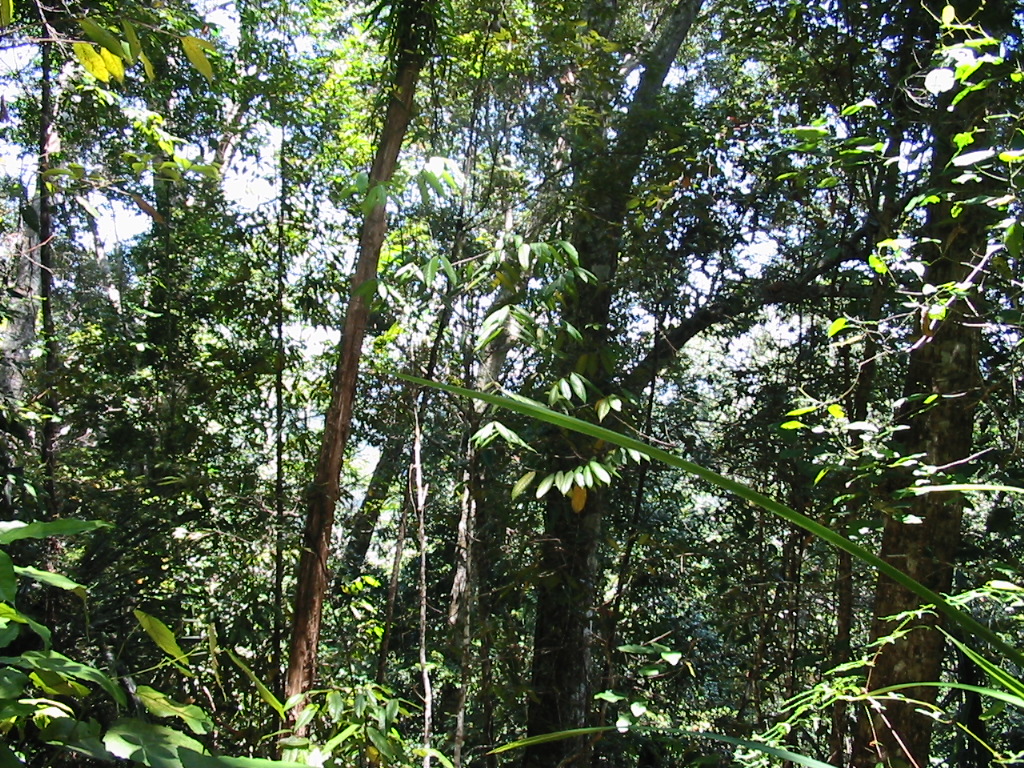
The Kokoda Trail covered seemingly impossible terrain: from nearly impenetrable rainforest with muddy ground, to agonisingly steep ascents and descents. (Later in the operation Australian Engineers cut 3,500 steps in one ascent near the village of Nauro). While the bare-footed indigenous people had little difficulty on the track, it was obviously unsuitable for large numbers of soldiers marching in boots. Many believed that the Trail would be too difficult for the invaders to traverse.
On 21 July, however, a force of 1,800 Japanese landed between Buna and Gona with the object of building a road to cross the Owen Stanleys and taking Port Moresby. Initially, they proved better jungle fighters than the Australians. Although attacked by Allied aircraft, the Japanese forces advanced rapidly up the track. The Papuan Infantry Battalion and part of the 39th Australian Infantry Battalion, still strung out along the track, were driven back to Wairopi on 24 July. On 29 July the Japanese captured Kokoda. By early August, the situation was desperate. Supplies of food and ammunition were running out. Withdrawal continued to Isurava, south of Kokoda. By 10 August the Japanese had dug in preparing for an onslaught on Port Moresby. The Australians, in turn, dug in at Isurava.
In August 1942 the advance guard of the seasoned 7th Australian Division arrived in Papua under Brigadier A.W. Potts. He soon took over
the command of the Maroubra Force which was not holding its ground effectively against superior Japanese forces.
KOKODA TRAIL II
SO, QUIETLY, THE AUSTRALIANS RE-ENTERED KOKODA. APART FROM ITS AIRFIELD ITS SIGNIFICANCE LAY ONLY IN ITS NAME WHICH WOULD IDENTIFY IN HISTORY THE EVIL TRACK WHICH PASSED ACROSS THE PAPUAN MOUNTAINS FROM THE SEA TO THE SEA. (DUDLEY McCARTHY, SOUTH-WEST PACIFIC AREA - FIRST YEAR KOKODA TO WAU)
In late August, while the Japanese were withdrawing from Milne Bay, the Australians on the Kokoda Trail were forced to withdraw from Isurava. Under fierce attack from Japanese forces the Australians retreated to Templeton’s Crossing. By this time the appalling conditions and lack of supplies had caused health problems among the Australian troops. Apart from battle wounds and difficulties with adequate medical treatment, soldiers were sick with dysentery, malaria and weakness from insufficient food. The 39th Australian Infantry Battalion had been reduced greatly in strength by death and other casualties. Even those still on their feet were exhausted and under-nourished.
From his GHQ in Brisbane MacArthur still did not comprehend that his own Allied troops were greatly outnumbered by the Japanese troops on the Kokoda Trail or the extreme privations of the defenders. This was a continuing problem in the Papuan Campaign. The climatic and logistical conditions in Papua made the prompt executive of GHQ orders impossible. MacArther was under the impression that there were fewer Japanese on the Trail than Australians. In reality there were only about 400 Australians facing 5000 Japanese! He regarded the continued retreats as evidence that the Australians were inefficient jungle fighters. When asked for more supply of planes he refused.
Because of the bad communications between GHQ and the front line, some of the best commanders were relieved of their duties. Major-General Clowes, commanding Milne Force at the front, Lieut-General Rowell, as GOC Australian Corps, and Major-General ‘Tubby’ Allen, GOC 7th Australian Division were unfairly relieved of their commands, ironically, on the very eve of success.
On the Kokoda Trail the Australians had to rely on indifferent supply lines. Most supplies were carried by truck to Ower’s Corner at the beginning of the Trail. From here on they had to be carried by carriers on foot and mules. Papuan carriers played a vital role in the movement of supplies on the Kokoda Trail. From Ubiri the track was too steep for pack animals and the heavy loads were carried by local people. By this time too, the wounded were being carried down the track. The other method was to drop supplies by Hudson or Douglas aircraft at Myola, a relatively flat area near Templeton’s Crossing. this was often unsuccessful as the flying conditions were difficult and pilots were inexperienced in the techniques of this type of flying. A large percentage of the dropped supplies were lost in the jungle or damaged in the drop. These problems were made worse when many of the supply planes at Port Moresby were destroyed in an air-raid.
Papuan carriers, guides and soldiers were regarded by Australian troops with great respect and affection. Indeed, without them the troops would not have been able to see the campaign to its successful resolution. They became sentimentally known as ‘Fuzzy Wuzzy Angels’ from a soldier’s verse published in the popular press, “May the mothers of Australia when they offer up a prayer, mention these impromptu angels with their fuzzy wuzzy hair”. Some Papuans also helped the Japanese and some were tried and executed by the Australians as collaborators. To the Papuans, however, both the Australians and the Japanese could have been perceived as invaders who disrupted village life and made excessive demands on the local people. As it was, the Australian Government failed to compensate adequately the people who gave the soldiers such invaluable service.
The Australian retreat continued, first to Efogi, losing the Myola supply point, then to Menari and Nauro. After a fierce battle at Ioribaiwa the exhausted Australians had to withdraw to Imita Ridge, only 50 kilometres from Port Moresby.
By the end of September it became clear that the Japanese would not take the battle to Port Moresby. From a tactical point of view the Australians were now closer to their supply lines. the Japanese, however, were far from theirs. Now, like the Australians, they were exhausted and starving. At the end of September it was the turn of the Australians to pursue the Japanese back over the Owen Stanleys.
Nevertheless the fighting was far from over. The Japanese had dug in at Templeton’s Crossing and kept up the fighting for eight days before retreating. Again MacArthur complained about the slowness of the pursuit of the Japanese across the mountains. Blamey was also ordering inappropriate action. General Blamey’s position, between the Australian Prime Minister and MacArthur, was very difficult. Major H.D. Steward observed that there was “... no doubt that MacArthur was breathing down the neck of the Australian Commander-in-Chief” and that “... It was highly likely that ... John Curtin was also pressing MacArthur’s views and uncertainties (on Blamey)”. After further fierce fighting with heavy losses on both sides, the Australians recaptured Kokoda, finding it abandoned.
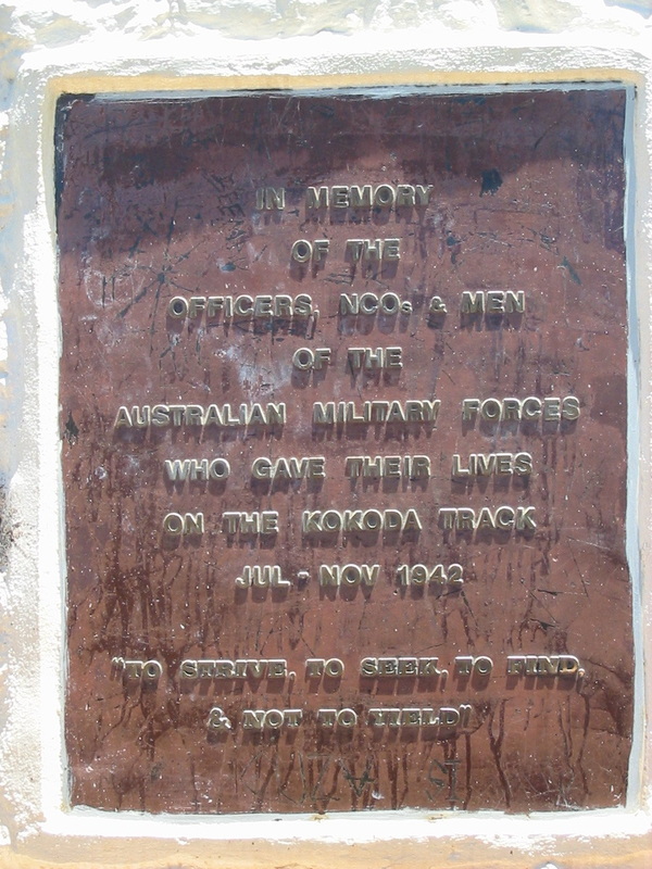
Total casualties of Australian soldiers on the Kokoda Trail from July to November 1942, excluding the Milne Bay engagement, numbered 1,680. Of these, 625 were killed.
The recapture of Kokoda on 2 November was not the end of the capaign to expel the Japanese invaders from Papua. Some of the most firece fighting came around the isolated beachheads of Buna, Sanananda and Gona. Here exhausted but desperate Japanese soldiers dug in and resisted repeated attacks in horrific conditions.
While Australian forces were fighting in Papua, United States forces had, on 7 August, landed on Guadalcanal in the British Solomon Islands. This campaign exerted great pressure on American resources as it was six months before the conflict was resolved in the Allies’ favour. The Japanese finally withdrew by 6 February 1943.
Blamey and MacArthur planned that the Australians should mount a rapid offensive against Gona in mid-November. This proved a more protracted operation than MacArthur had foreseen. The Japanese bunkers were well defended and the extremely hot conditions on the swampy coastal plain amid shoulder-high, razor-sharp kunai grass, gave the Australians a new challenge in fighting difficult terrain as well as the enemy. It was not until 9 December that the leader of the 39th Australian Infantry Battalion, Lieut-Colonel R. Honner, was able to send the grimly humorous and pithy message, “Gona’s gone!”.
American troops had in the meantime arrived for what was also to be a long struggle against Buna. Initially the troops of the United States 32nd Division, 126th and 128th Regiments, made little headway at Buna. Partly because of their inexperience and unreadiness for the type of fighting required, the Americans suffered heavy casualties. Matters improved with the appointment in late November of a more competent American commander, Lieut-General R.L. Eichelberger. It was not, however, until the Australian Brigadier George Wootten (later Major-General Wootten) took direct command of the Americans on 17 December that the battle for Buna began to go well for the Allies. Wootten brought with him the Australian 2/9th, 2/10th and 2/12th Infantry Battalions. Buna was recaptured on 2 January 1943, and organised resistance from the Japanese ended on 23 January 1943. Most had withdrawn from Papua by the end of January. It is estimated that the Japanese suffered losses of more than 7,000 killed during the Papuan campaign.
After Papua Australians remained under Japanese fire in the mandated Territory of New Guinea until the end of the war.
SO, QUIETLY, THE AUSTRALIANS RE-ENTERED KOKODA. APART FROM ITS AIRFIELD ITS SIGNIFICANCE LAY ONLY IN ITS NAME WHICH WOULD IDENTIFY IN HISTORY THE EVIL TRACK WHICH PASSED ACROSS THE PAPUAN MOUNTAINS FROM THE SEA TO THE SEA. (DUDLEY McCARTHY, SOUTH-WEST PACIFIC AREA - FIRST YEAR KOKODA TO WAU)
In late August, while the Japanese were withdrawing from Milne Bay, the Australians on the Kokoda Trail were forced to withdraw from Isurava. Under fierce attack from Japanese forces the Australians retreated to Templeton’s Crossing. By this time the appalling conditions and lack of supplies had caused health problems among the Australian troops. Apart from battle wounds and difficulties with adequate medical treatment, soldiers were sick with dysentery, malaria and weakness from insufficient food. The 39th Australian Infantry Battalion had been reduced greatly in strength by death and other casualties. Even those still on their feet were exhausted and under-nourished.
From his GHQ in Brisbane MacArthur still did not comprehend that his own Allied troops were greatly outnumbered by the Japanese troops on the Kokoda Trail or the extreme privations of the defenders. This was a continuing problem in the Papuan Campaign. The climatic and logistical conditions in Papua made the prompt executive of GHQ orders impossible. MacArther was under the impression that there were fewer Japanese on the Trail than Australians. In reality there were only about 400 Australians facing 5000 Japanese! He regarded the continued retreats as evidence that the Australians were inefficient jungle fighters. When asked for more supply of planes he refused.
Because of the bad communications between GHQ and the front line, some of the best commanders were relieved of their duties. Major-General Clowes, commanding Milne Force at the front, Lieut-General Rowell, as GOC Australian Corps, and Major-General ‘Tubby’ Allen, GOC 7th Australian Division were unfairly relieved of their commands, ironically, on the very eve of success.
On the Kokoda Trail the Australians had to rely on indifferent supply lines. Most supplies were carried by truck to Ower’s Corner at the beginning of the Trail. From here on they had to be carried by carriers on foot and mules. Papuan carriers played a vital role in the movement of supplies on the Kokoda Trail. From Ubiri the track was too steep for pack animals and the heavy loads were carried by local people. By this time too, the wounded were being carried down the track. The other method was to drop supplies by Hudson or Douglas aircraft at Myola, a relatively flat area near Templeton’s Crossing. this was often unsuccessful as the flying conditions were difficult and pilots were inexperienced in the techniques of this type of flying. A large percentage of the dropped supplies were lost in the jungle or damaged in the drop. These problems were made worse when many of the supply planes at Port Moresby were destroyed in an air-raid.
Papuan carriers, guides and soldiers were regarded by Australian troops with great respect and affection. Indeed, without them the troops would not have been able to see the campaign to its successful resolution. They became sentimentally known as ‘Fuzzy Wuzzy Angels’ from a soldier’s verse published in the popular press, “May the mothers of Australia when they offer up a prayer, mention these impromptu angels with their fuzzy wuzzy hair”. Some Papuans also helped the Japanese and some were tried and executed by the Australians as collaborators. To the Papuans, however, both the Australians and the Japanese could have been perceived as invaders who disrupted village life and made excessive demands on the local people. As it was, the Australian Government failed to compensate adequately the people who gave the soldiers such invaluable service.
The Australian retreat continued, first to Efogi, losing the Myola supply point, then to Menari and Nauro. After a fierce battle at Ioribaiwa the exhausted Australians had to withdraw to Imita Ridge, only 50 kilometres from Port Moresby.
By the end of September it became clear that the Japanese would not take the battle to Port Moresby. From a tactical point of view the Australians were now closer to their supply lines. the Japanese, however, were far from theirs. Now, like the Australians, they were exhausted and starving. At the end of September it was the turn of the Australians to pursue the Japanese back over the Owen Stanleys.
Nevertheless the fighting was far from over. The Japanese had dug in at Templeton’s Crossing and kept up the fighting for eight days before retreating. Again MacArthur complained about the slowness of the pursuit of the Japanese across the mountains. Blamey was also ordering inappropriate action. General Blamey’s position, between the Australian Prime Minister and MacArthur, was very difficult. Major H.D. Steward observed that there was “... no doubt that MacArthur was breathing down the neck of the Australian Commander-in-Chief” and that “... It was highly likely that ... John Curtin was also pressing MacArthur’s views and uncertainties (on Blamey)”. After further fierce fighting with heavy losses on both sides, the Australians recaptured Kokoda, finding it abandoned.
Total casualties of Australian soldiers on the Kokoda Trail from July to November 1942, excluding the Milne Bay engagement, numbered 1,680. Of these, 625 were killed.
The recapture of Kokoda on 2 November was not the end of the capaign to expel the Japanese invaders from Papua. Some of the most firece fighting came around the isolated beachheads of Buna, Sanananda and Gona. Here exhausted but desperate Japanese soldiers dug in and resisted repeated attacks in horrific conditions.
While Australian forces were fighting in Papua, United States forces had, on 7 August, landed on Guadalcanal in the British Solomon Islands. This campaign exerted great pressure on American resources as it was six months before the conflict was resolved in the Allies’ favour. The Japanese finally withdrew by 6 February 1943.
Blamey and MacArthur planned that the Australians should mount a rapid offensive against Gona in mid-November. This proved a more protracted operation than MacArthur had foreseen. The Japanese bunkers were well defended and the extremely hot conditions on the swampy coastal plain amid shoulder-high, razor-sharp kunai grass, gave the Australians a new challenge in fighting difficult terrain as well as the enemy. It was not until 9 December that the leader of the 39th Australian Infantry Battalion, Lieut-Colonel R. Honner, was able to send the grimly humorous and pithy message, “Gona’s gone!”.
American troops had in the meantime arrived for what was also to be a long struggle against Buna. Initially the troops of the United States 32nd Division, 126th and 128th Regiments, made little headway at Buna. Partly because of their inexperience and unreadiness for the type of fighting required, the Americans suffered heavy casualties. Matters improved with the appointment in late November of a more competent American commander, Lieut-General R.L. Eichelberger. It was not, however, until the Australian Brigadier George Wootten (later Major-General Wootten) took direct command of the Americans on 17 December that the battle for Buna began to go well for the Allies. Wootten brought with him the Australian 2/9th, 2/10th and 2/12th Infantry Battalions. Buna was recaptured on 2 January 1943, and organised resistance from the Japanese ended on 23 January 1943. Most had withdrawn from Papua by the end of January. It is estimated that the Japanese suffered losses of more than 7,000 killed during the Papuan campaign.
After Papua Australians remained under Japanese fire in the mandated Territory of New Guinea until the end of the war.